Leaderboard
Popular Content
Showing content with the highest reputation on 12/15/17 in all areas
-

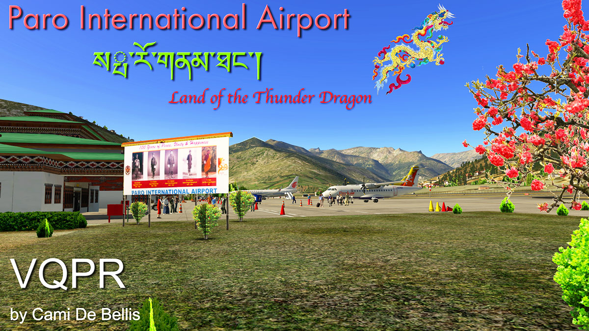
Scenery Review : VQPR - Paro International Airport by Cami De Bellis
Cami De Bellis reacted to Stephen for a topic
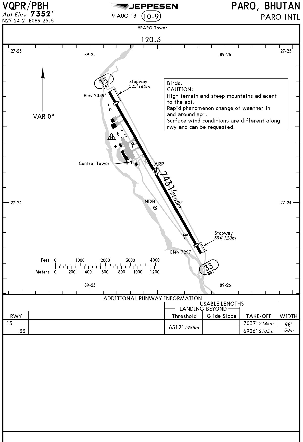
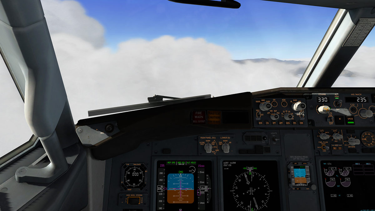
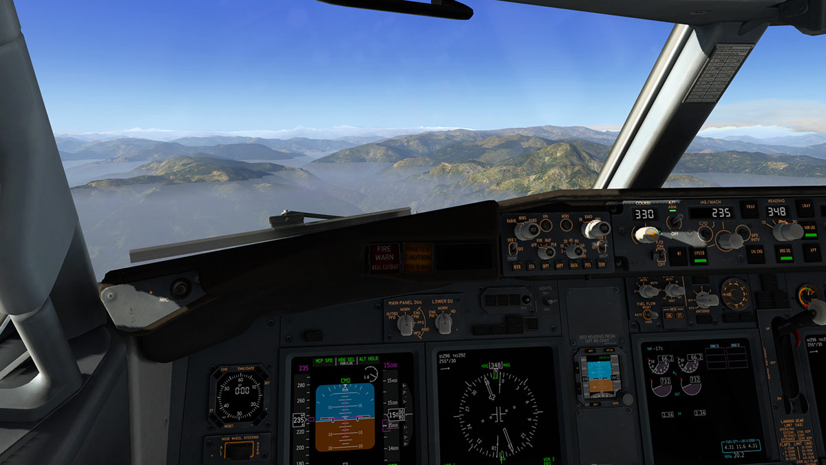
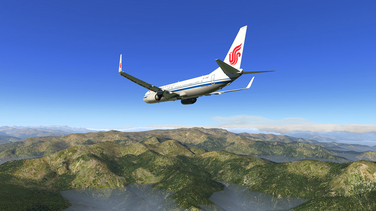
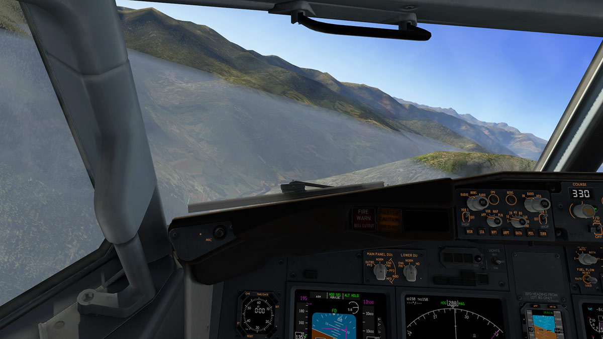
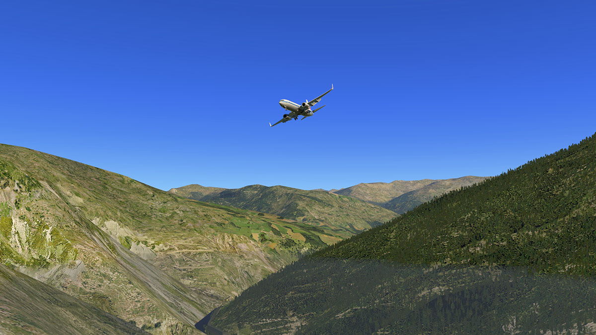
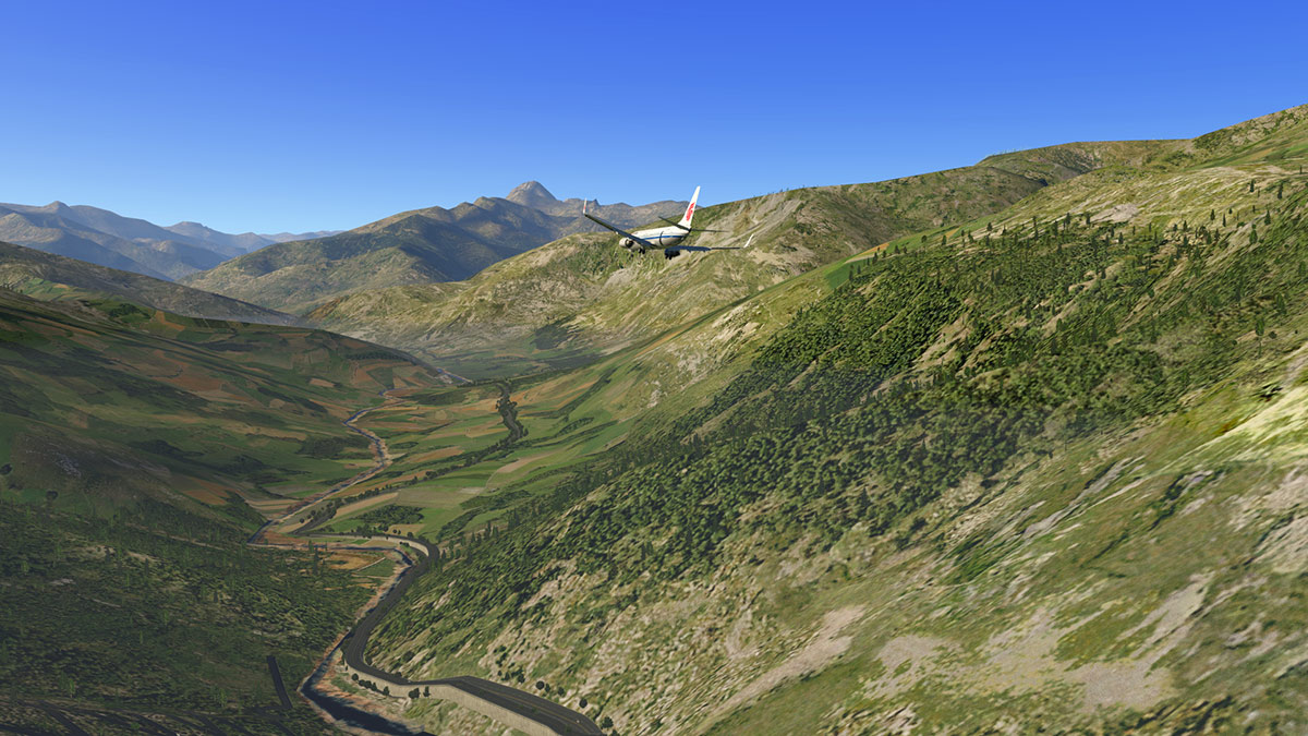
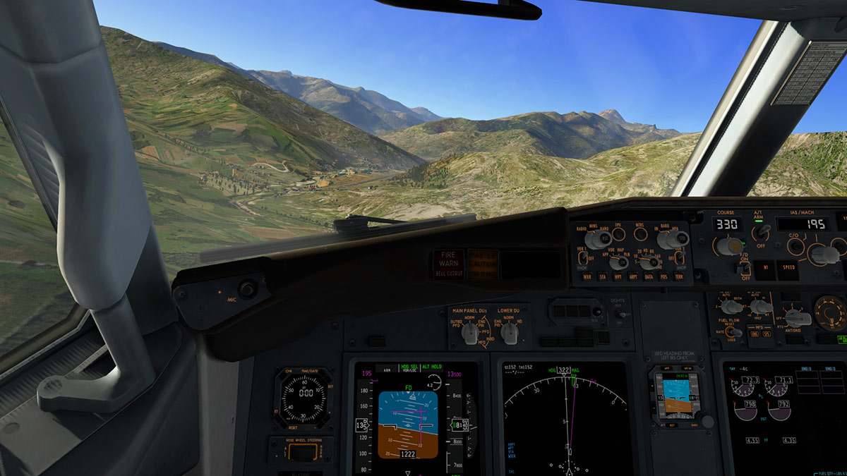
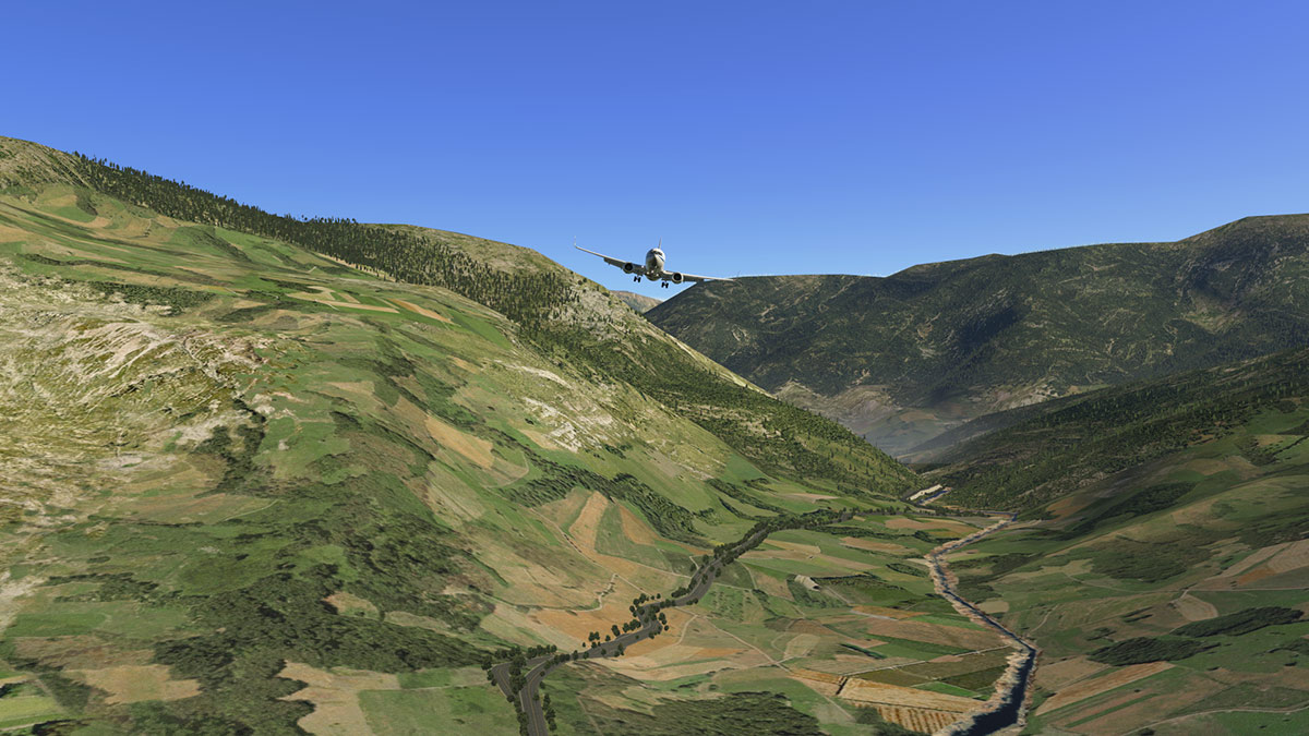
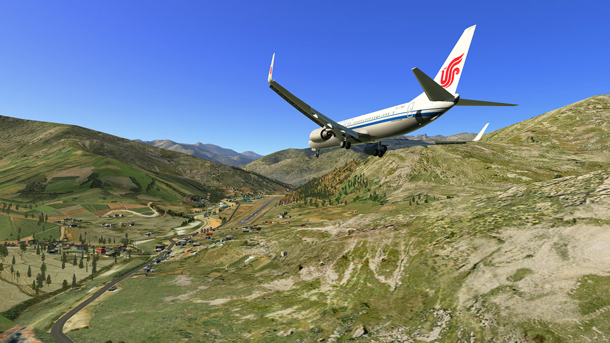
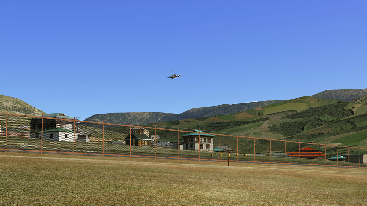
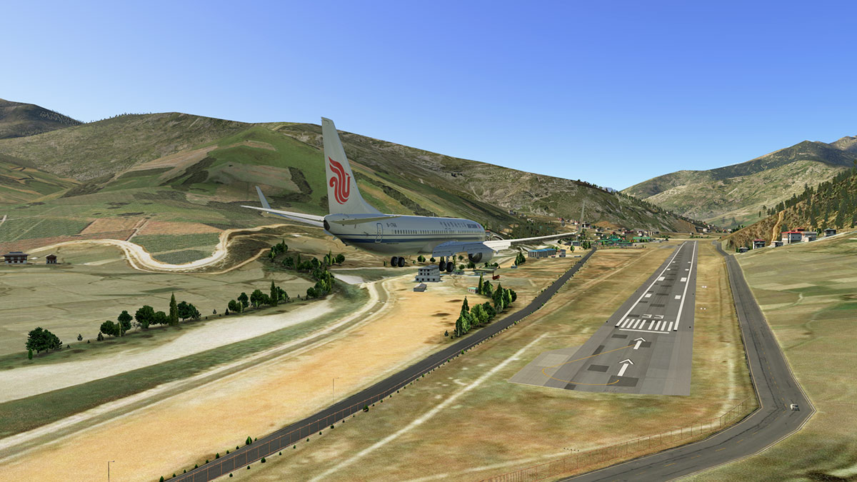
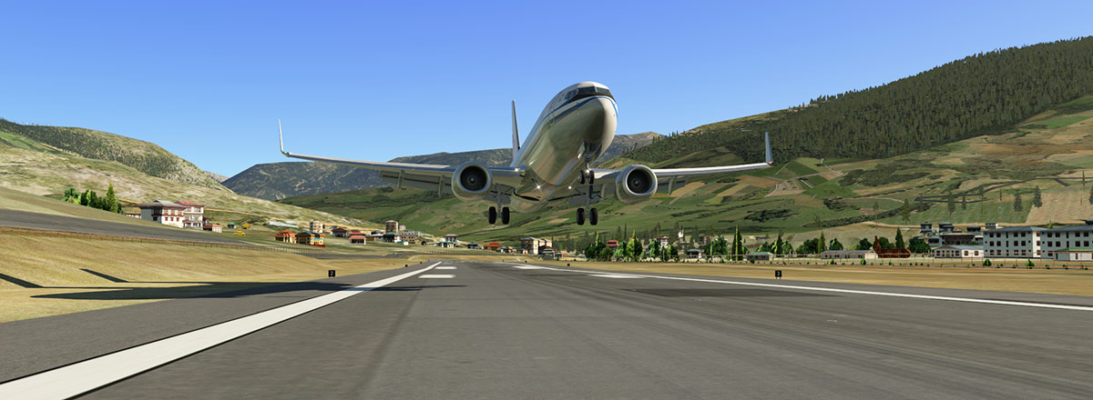
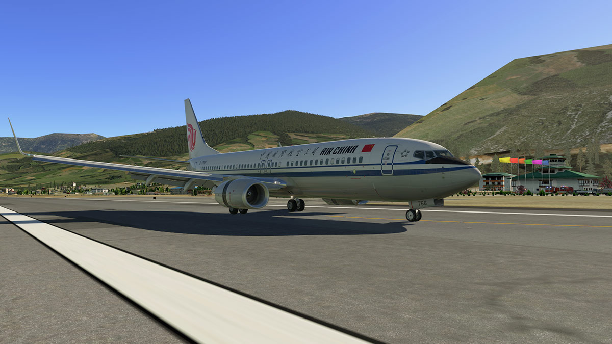
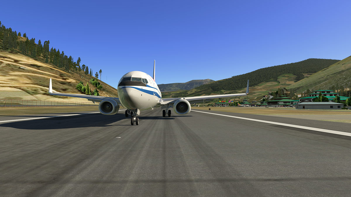
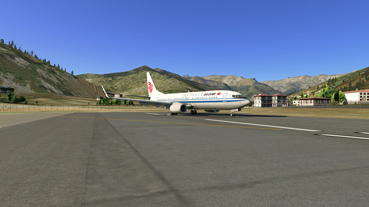
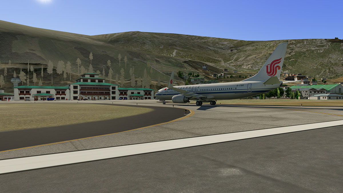
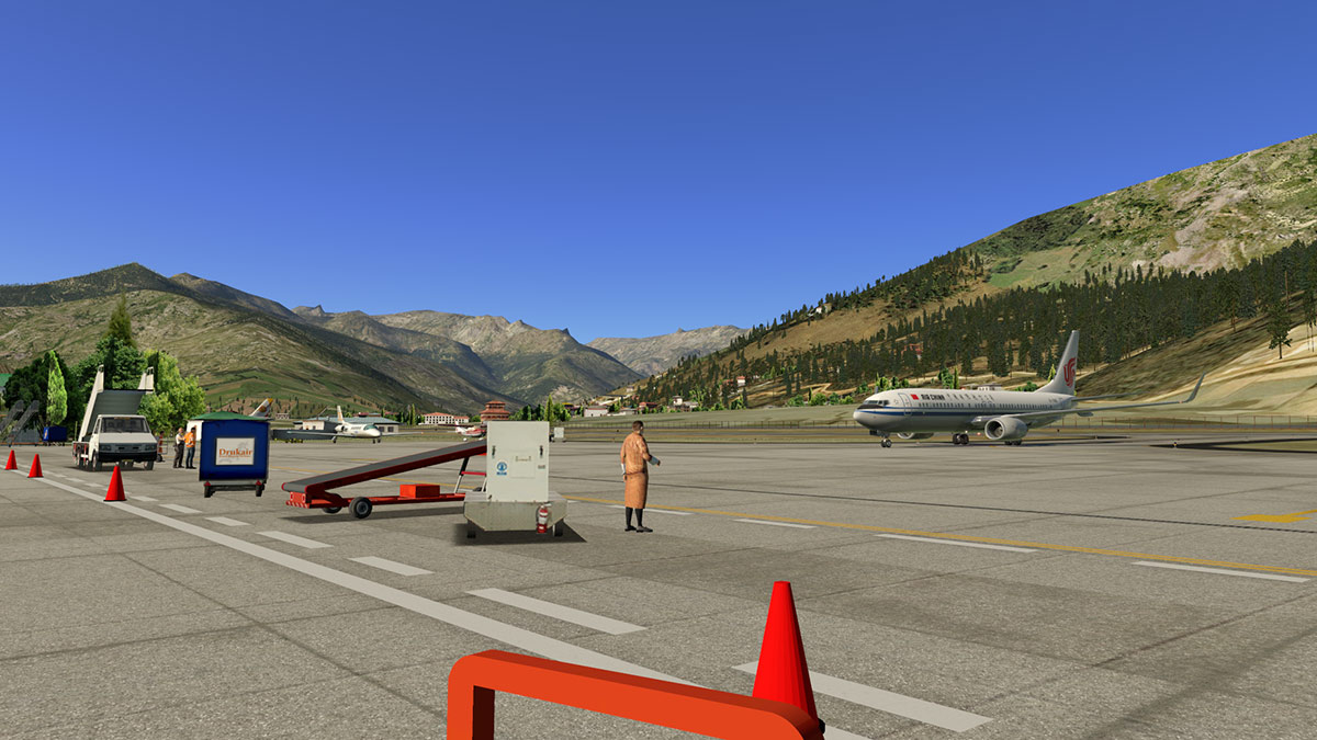
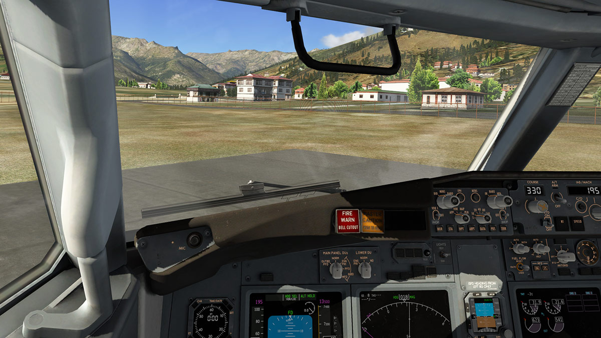
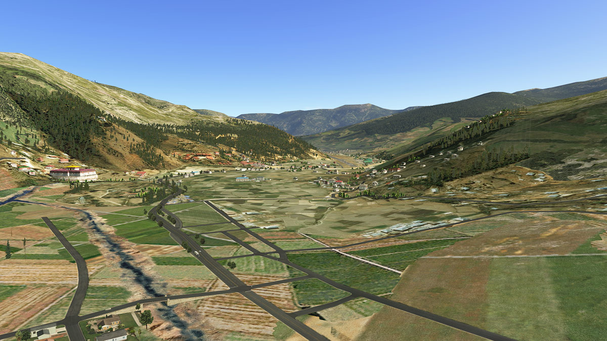
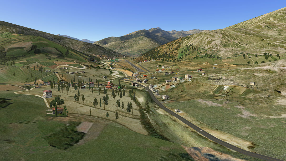
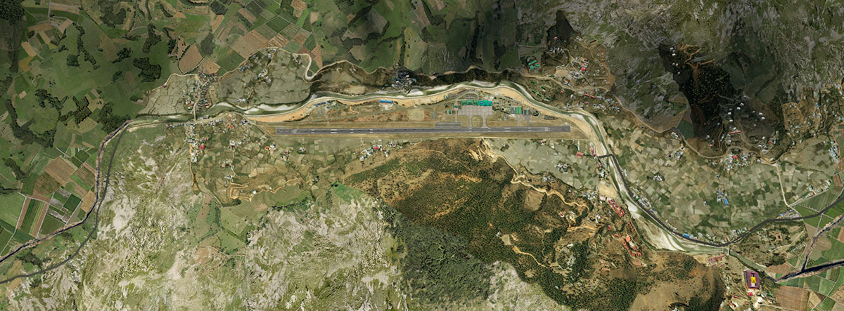
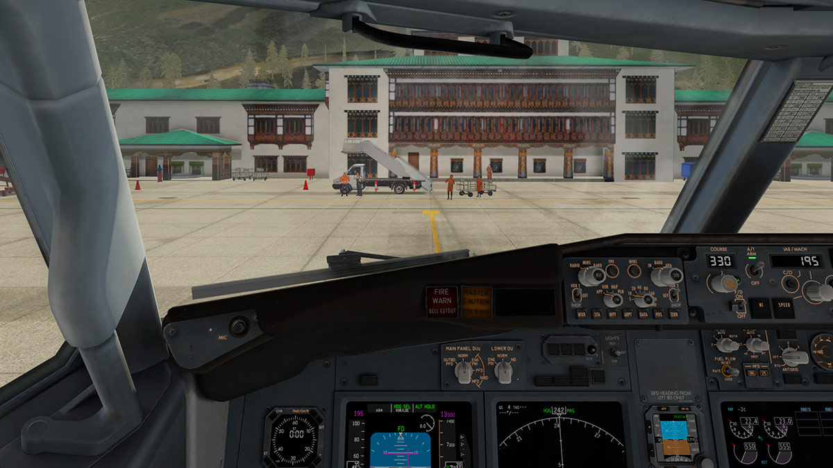
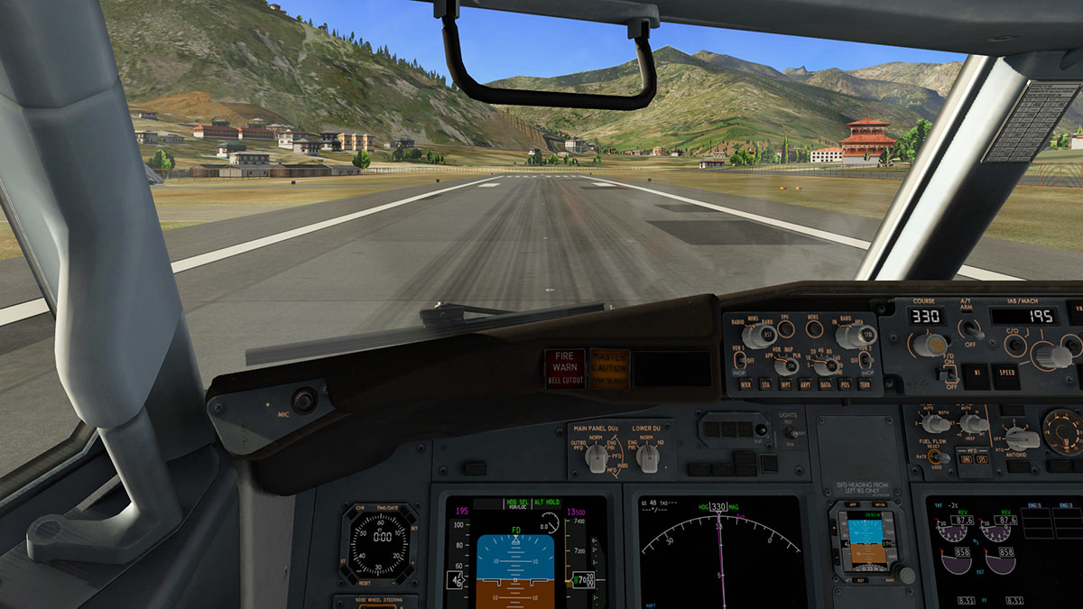
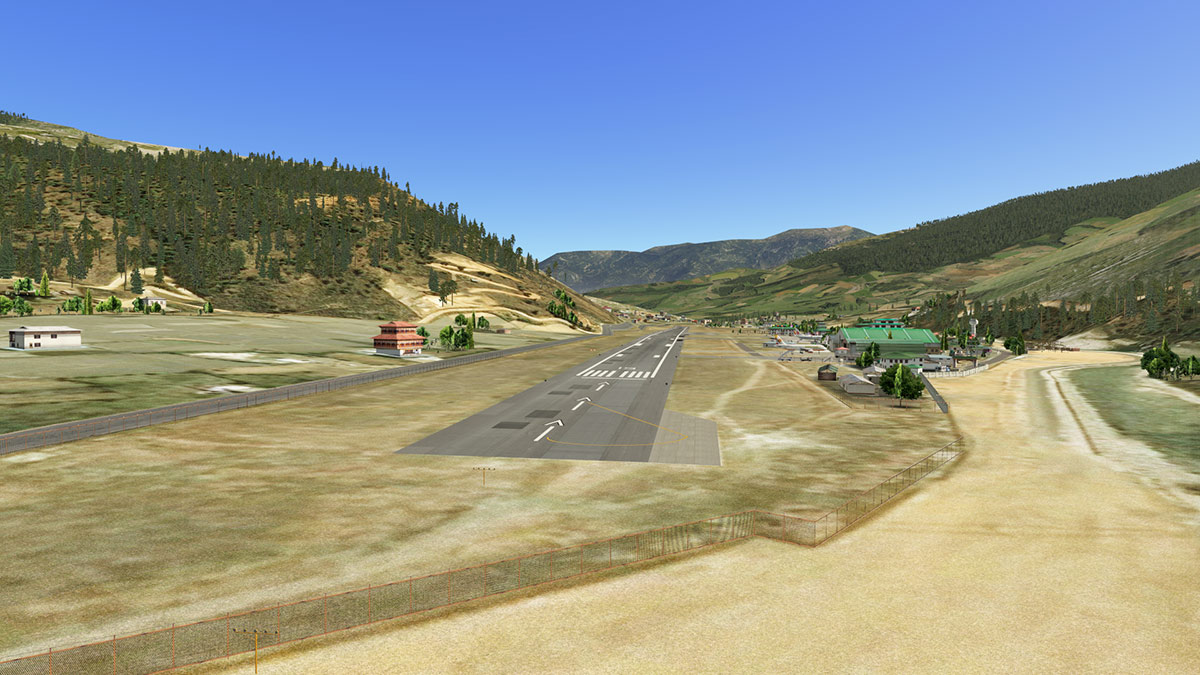
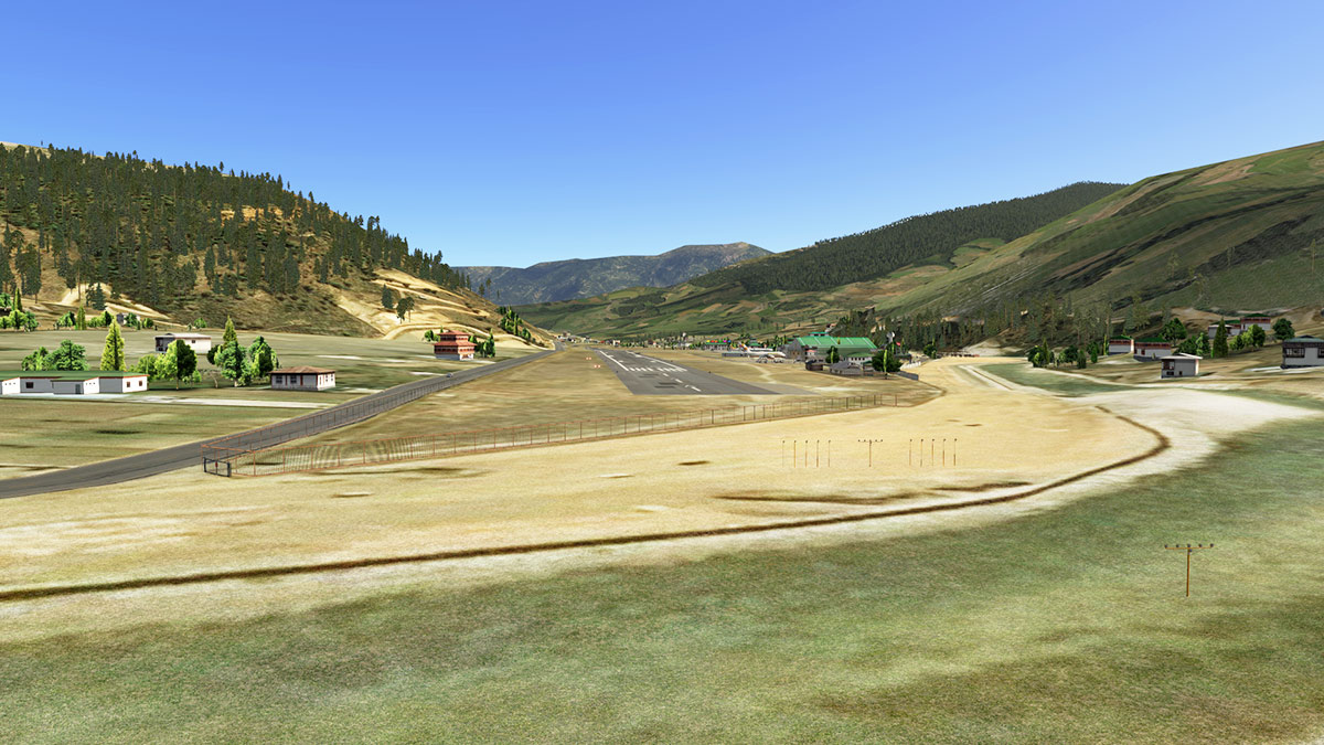
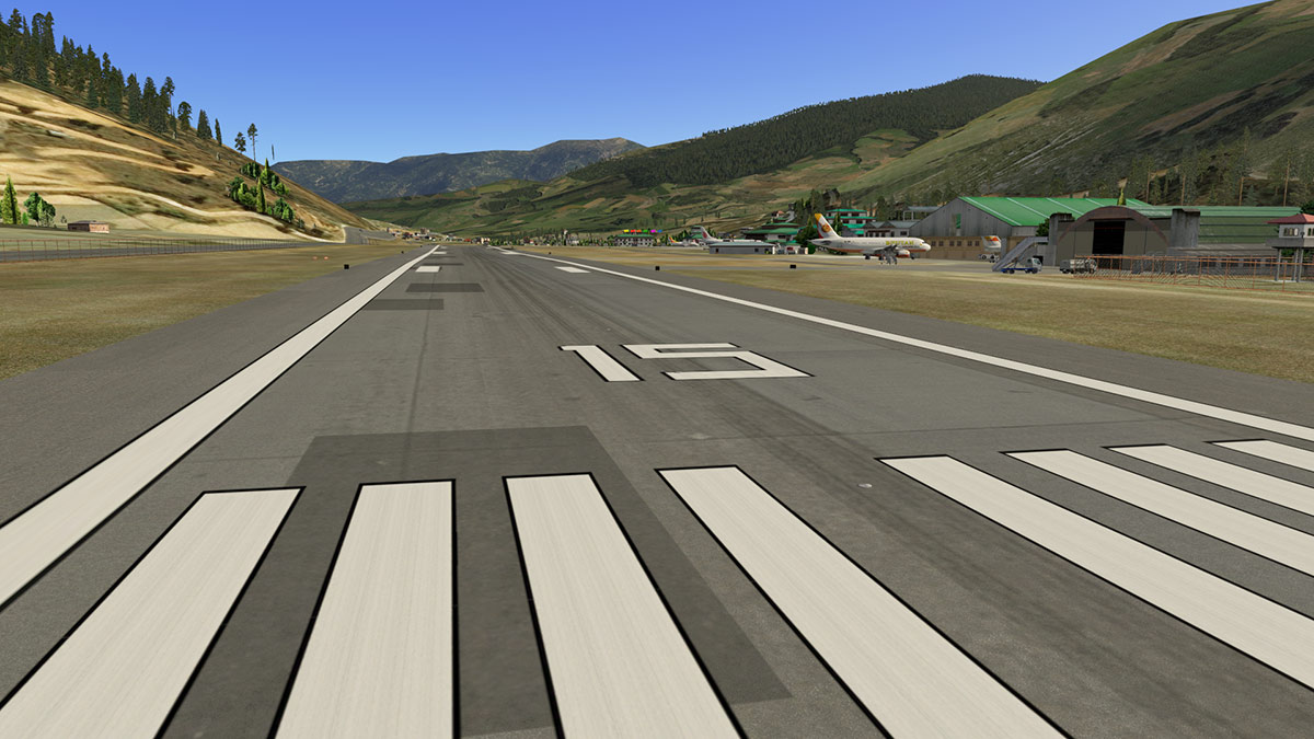
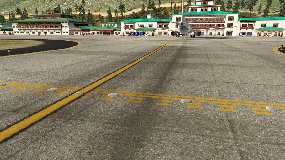
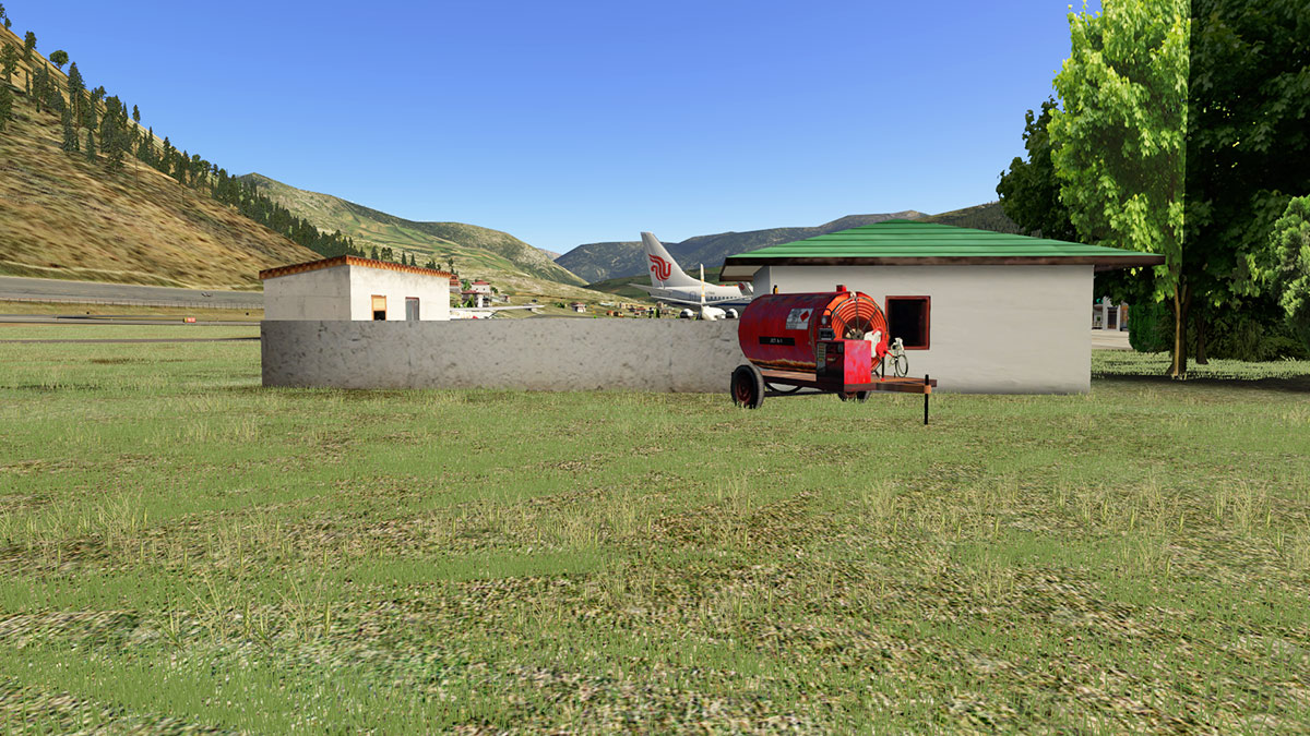
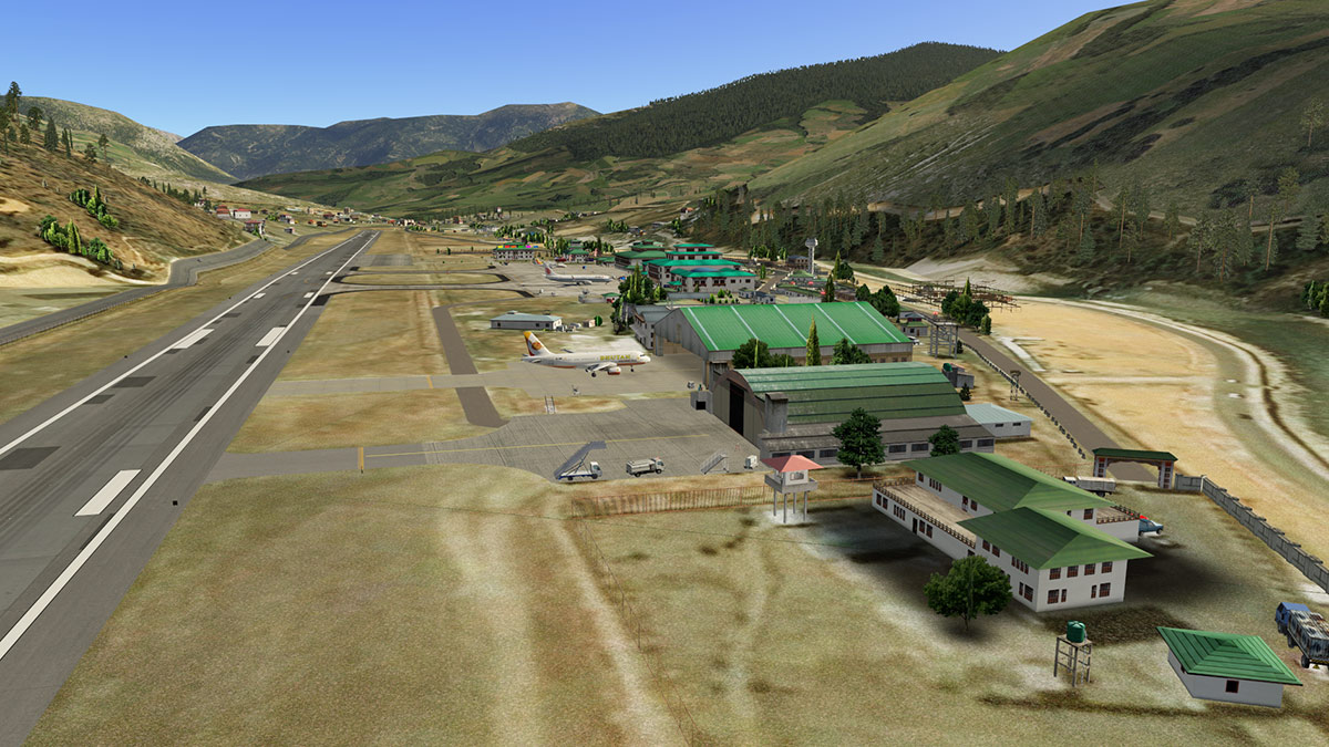
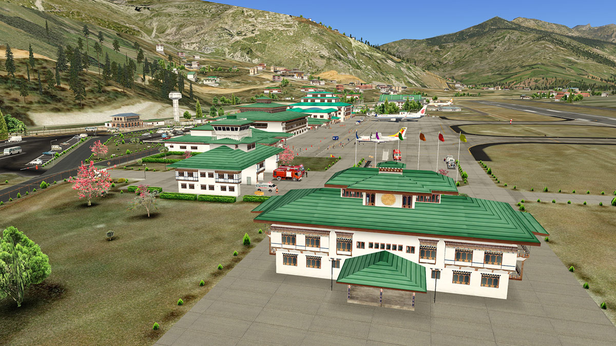
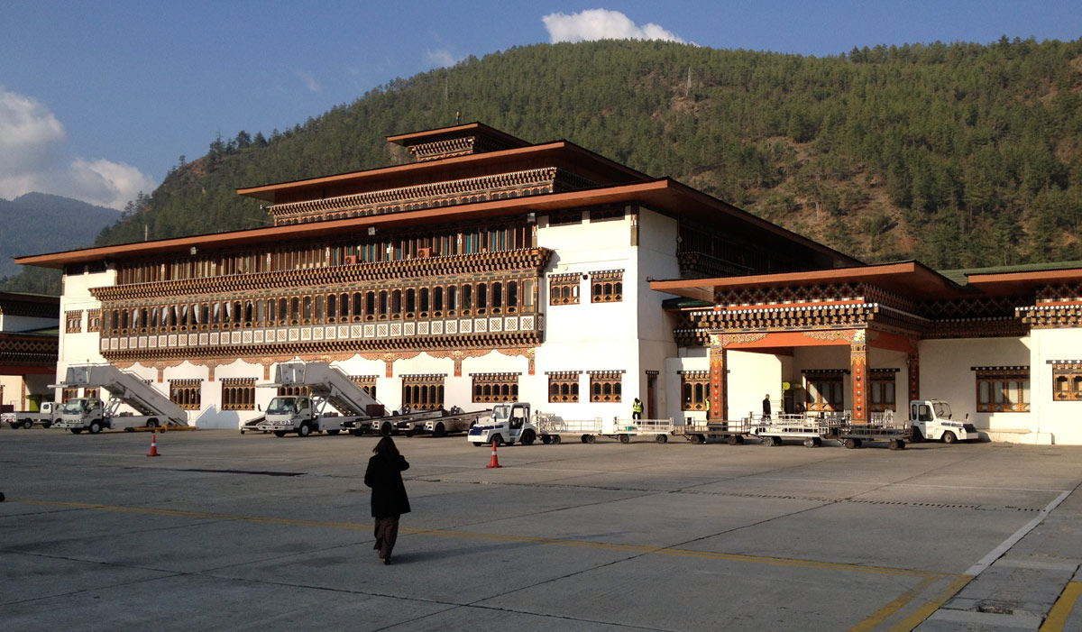
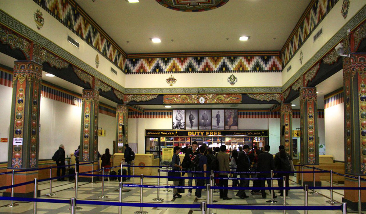
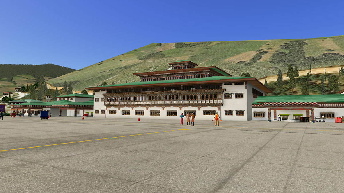
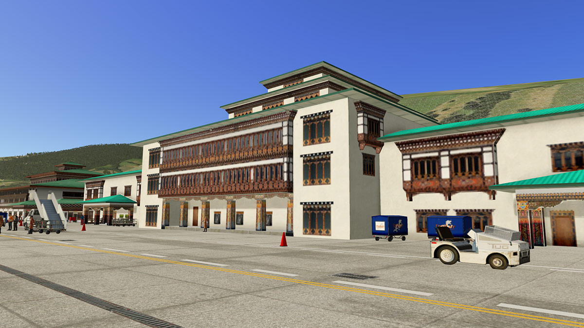
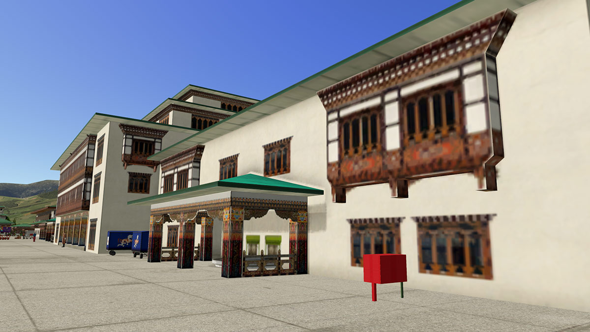
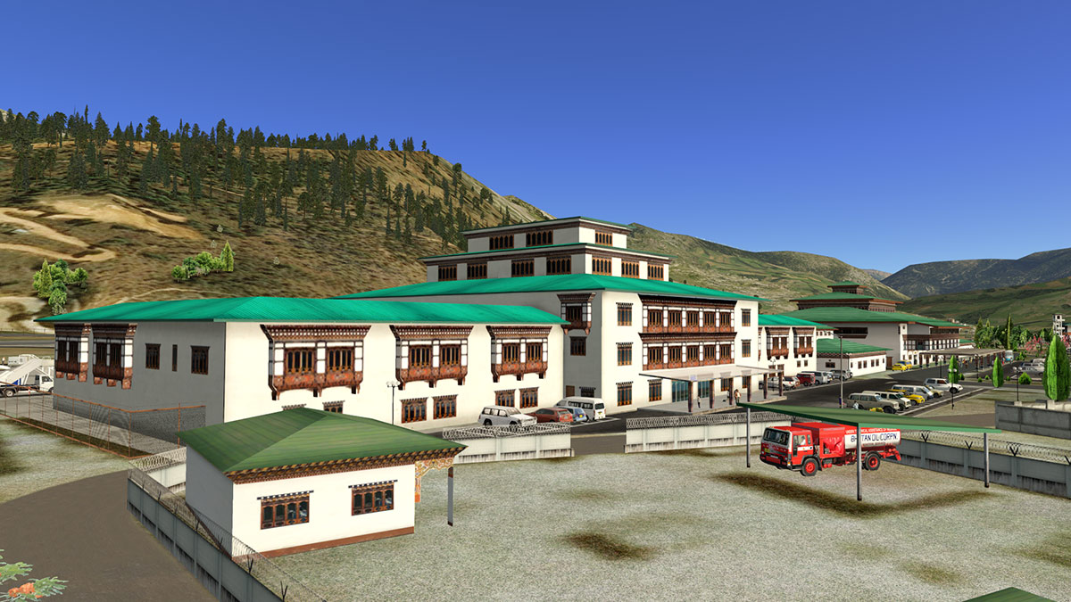
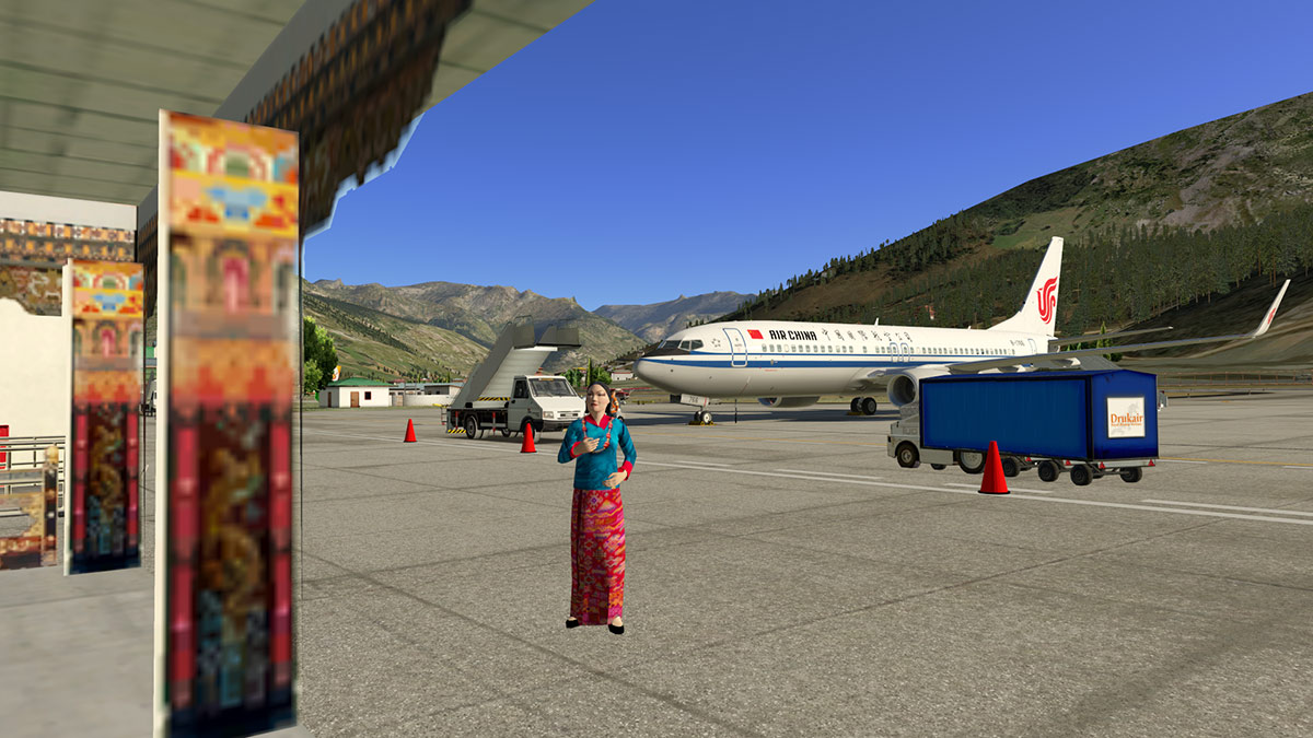
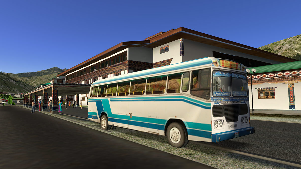
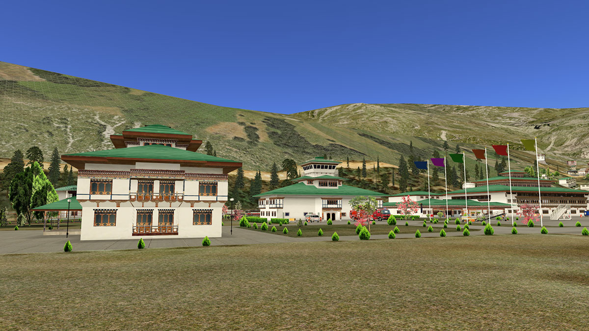
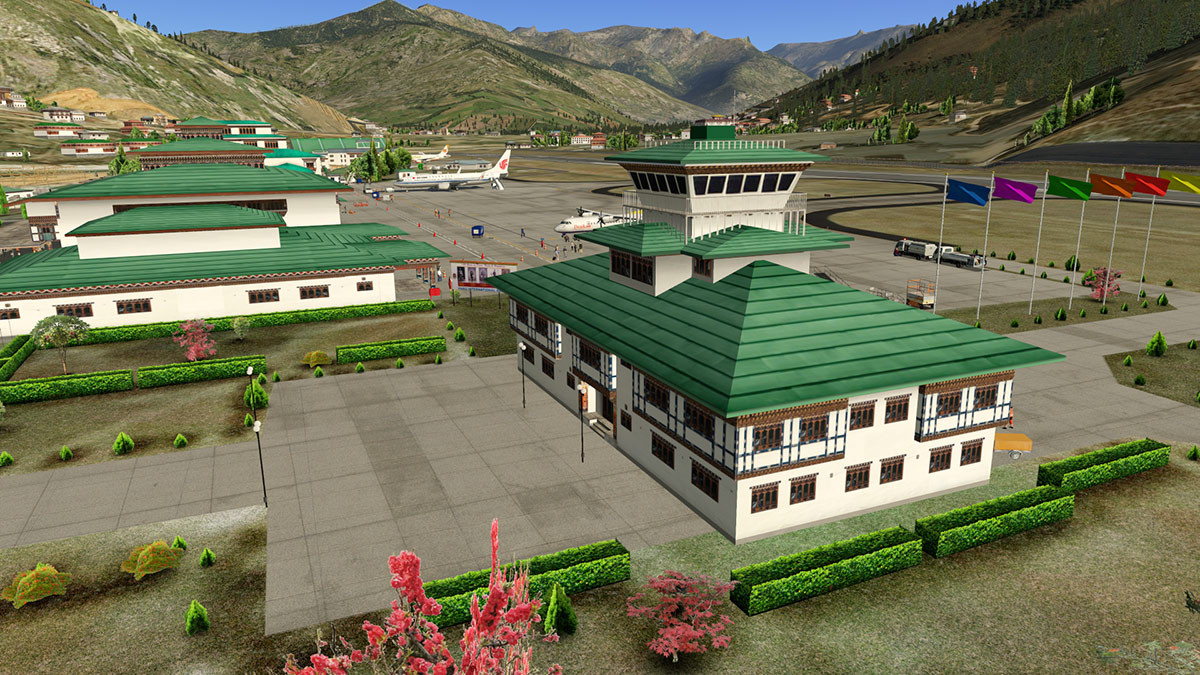
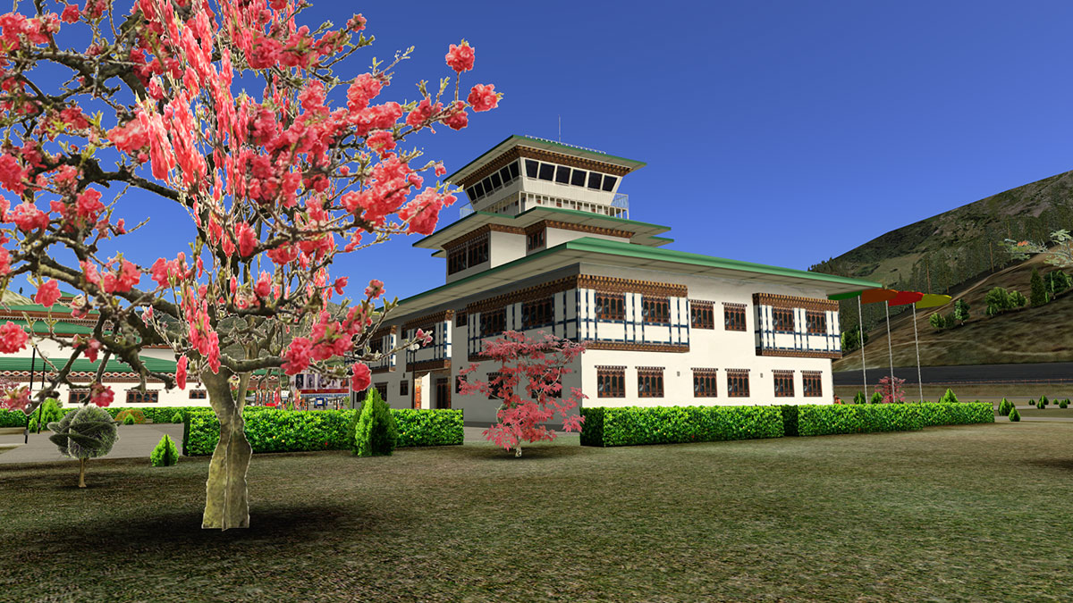
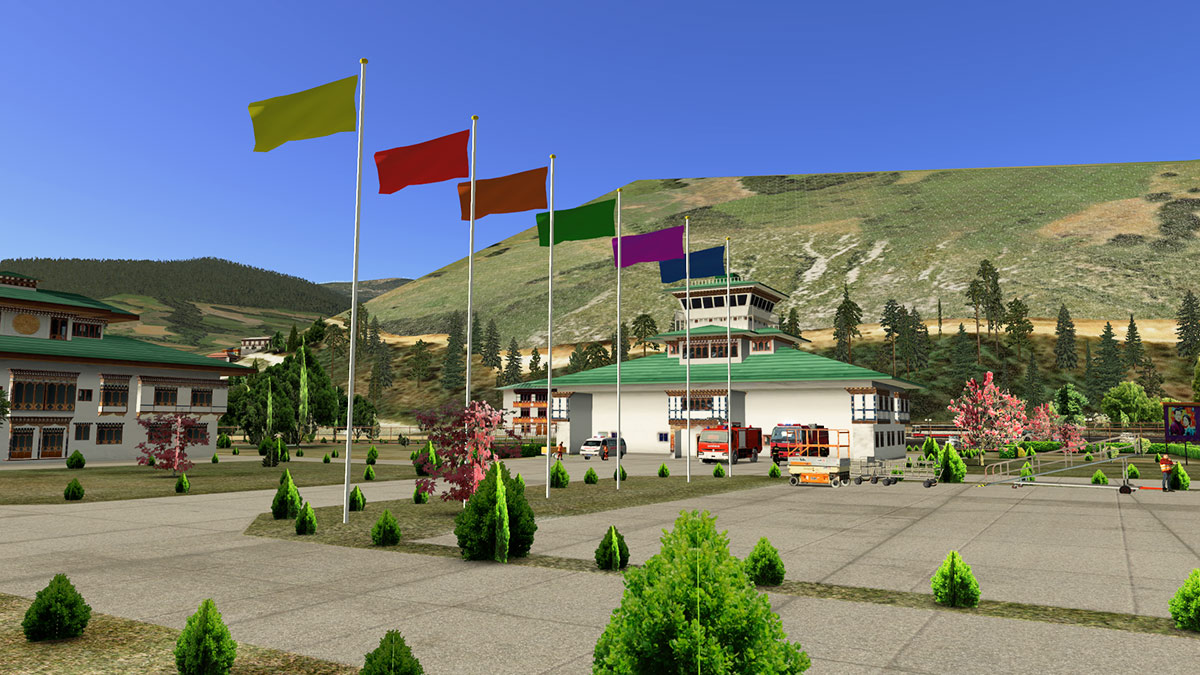
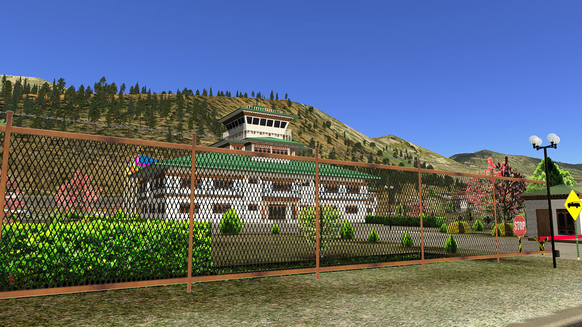
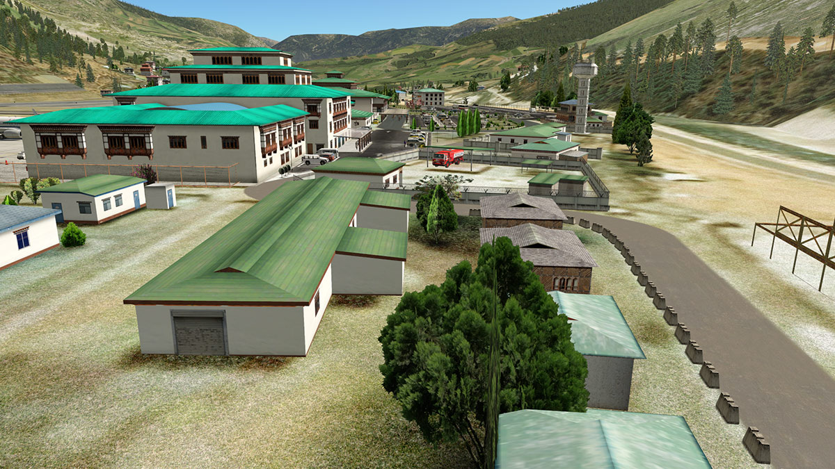
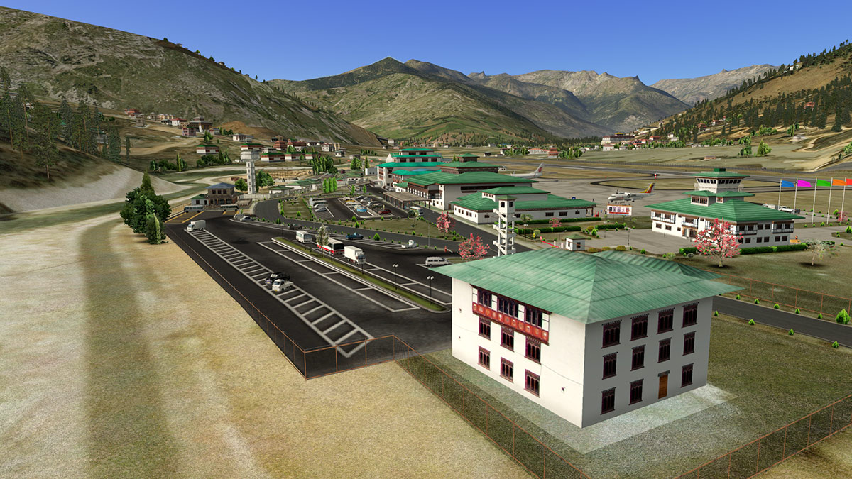
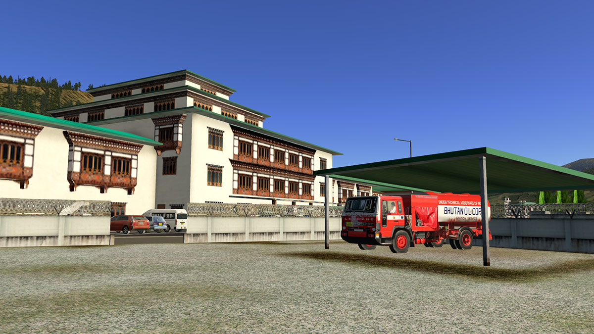
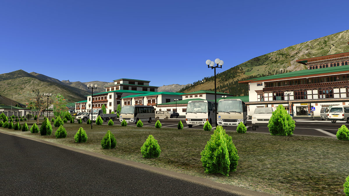
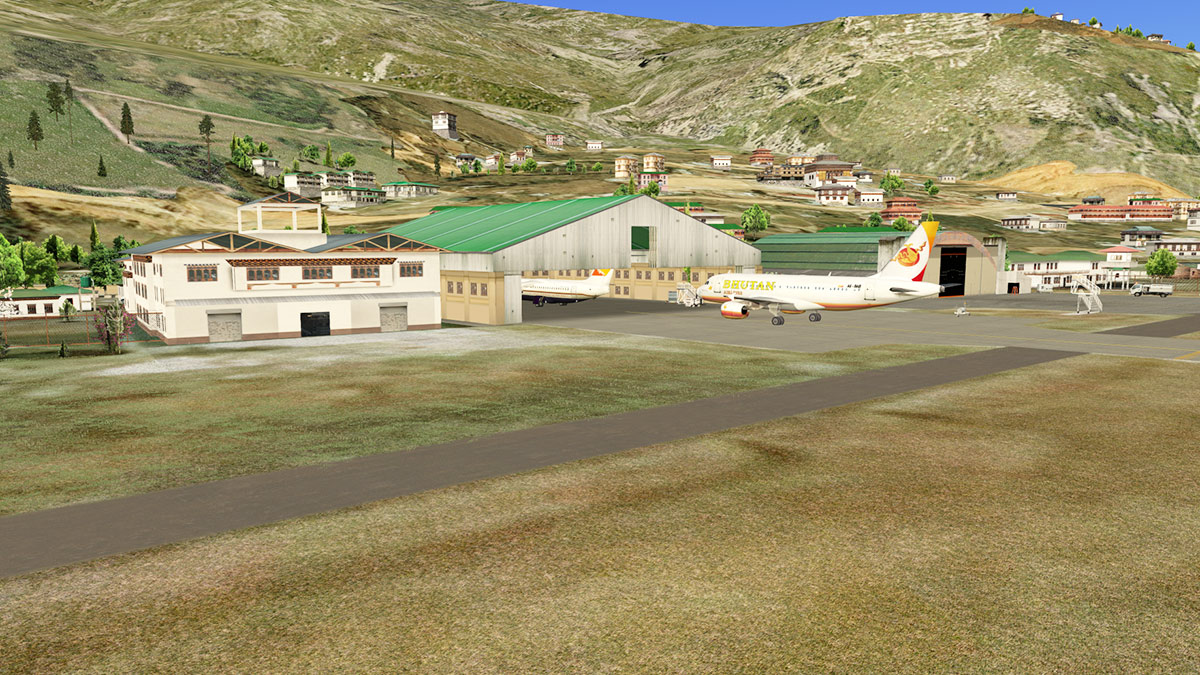
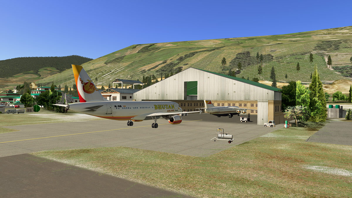
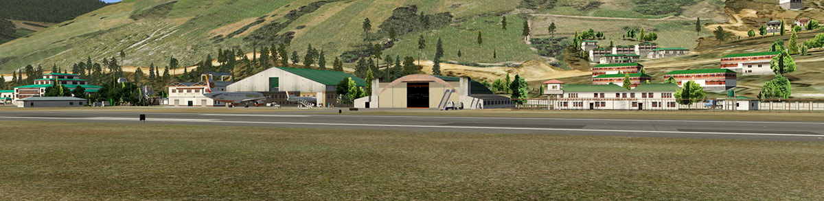
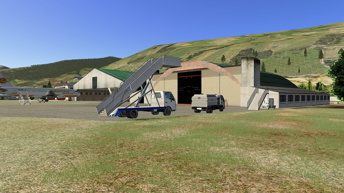
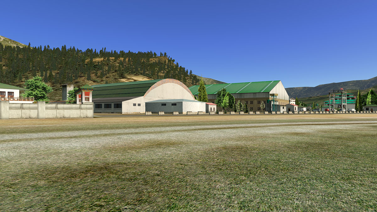
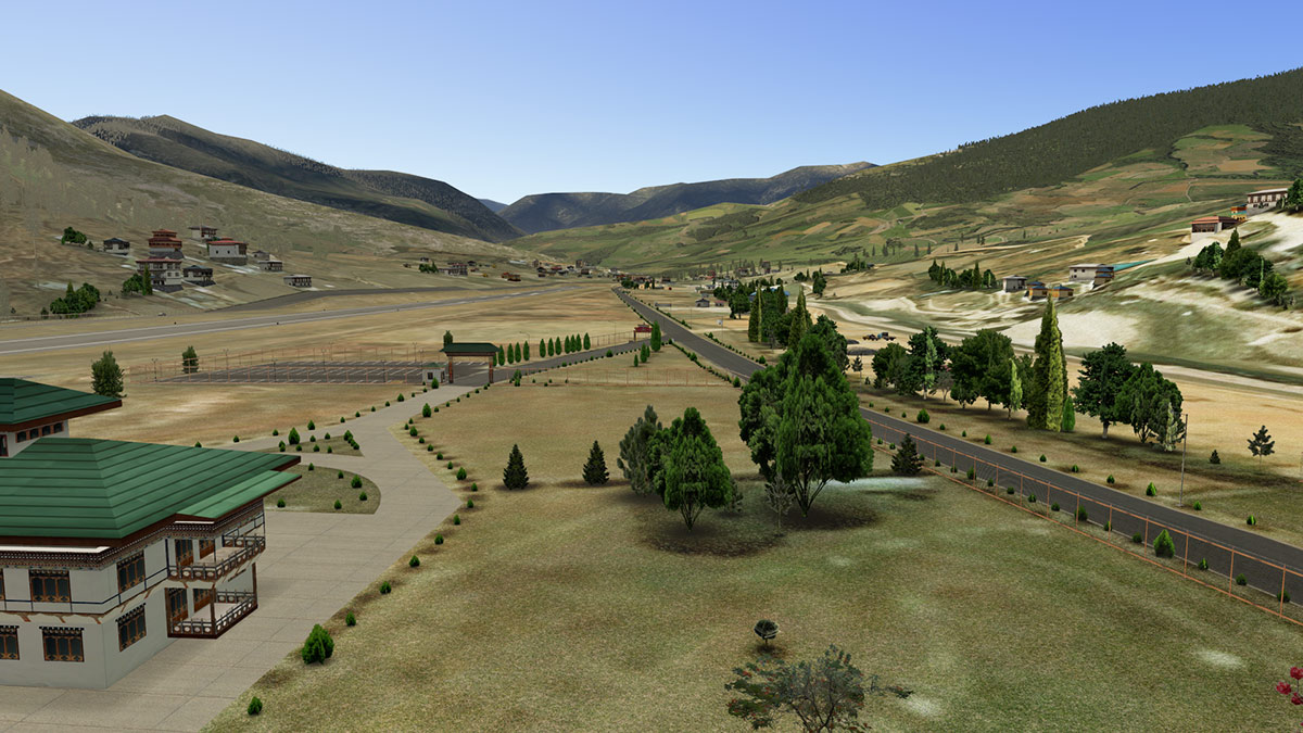
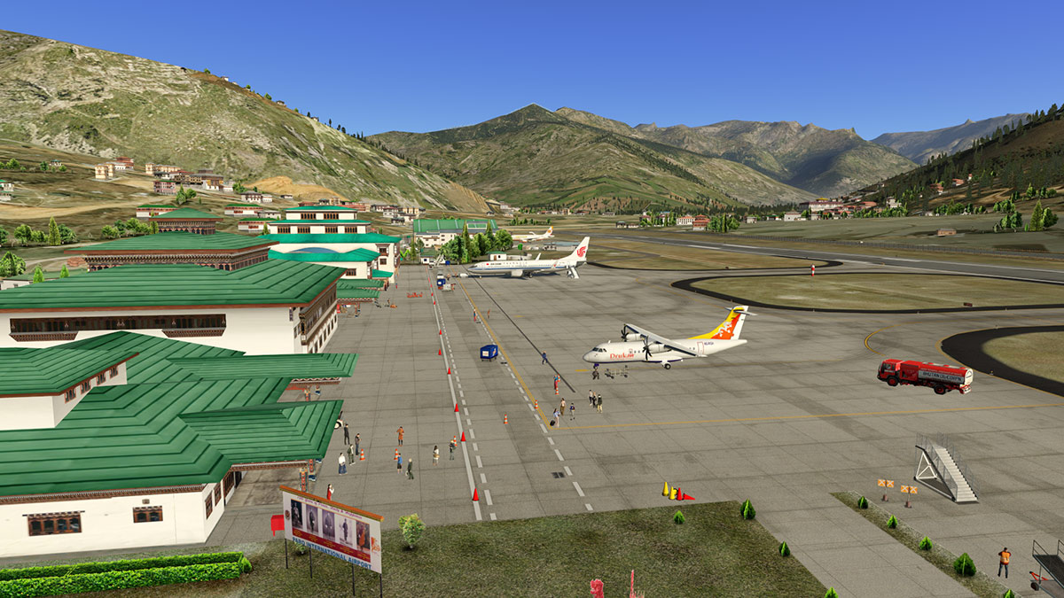
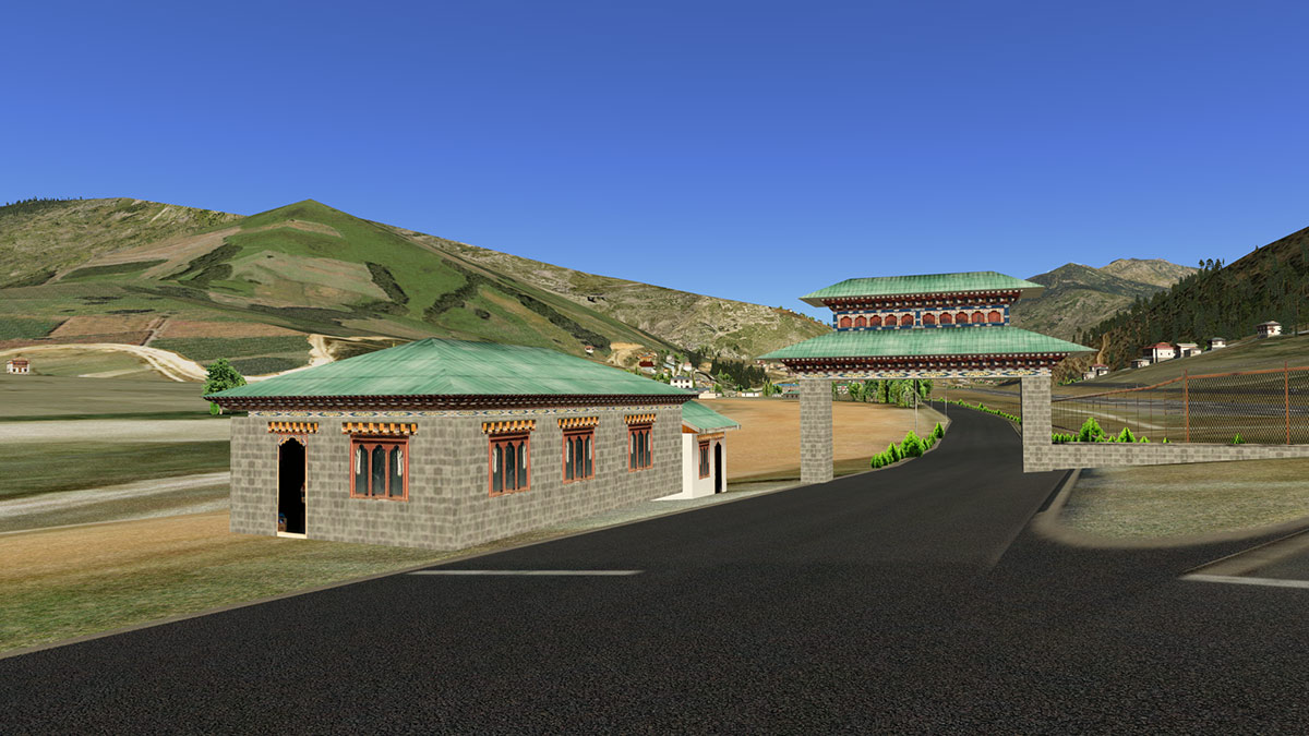
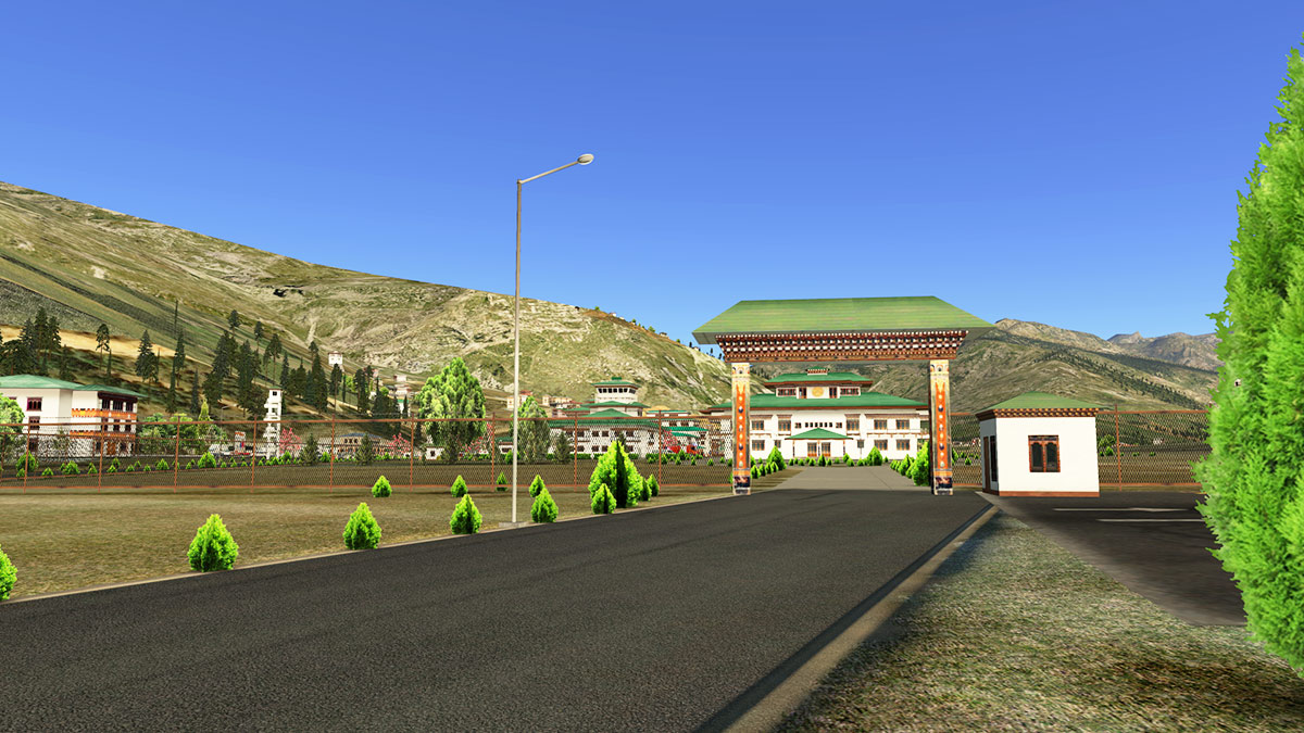
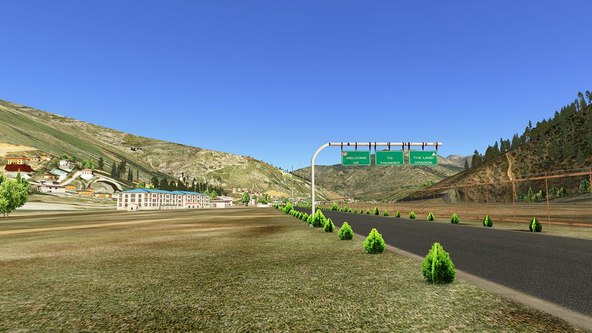
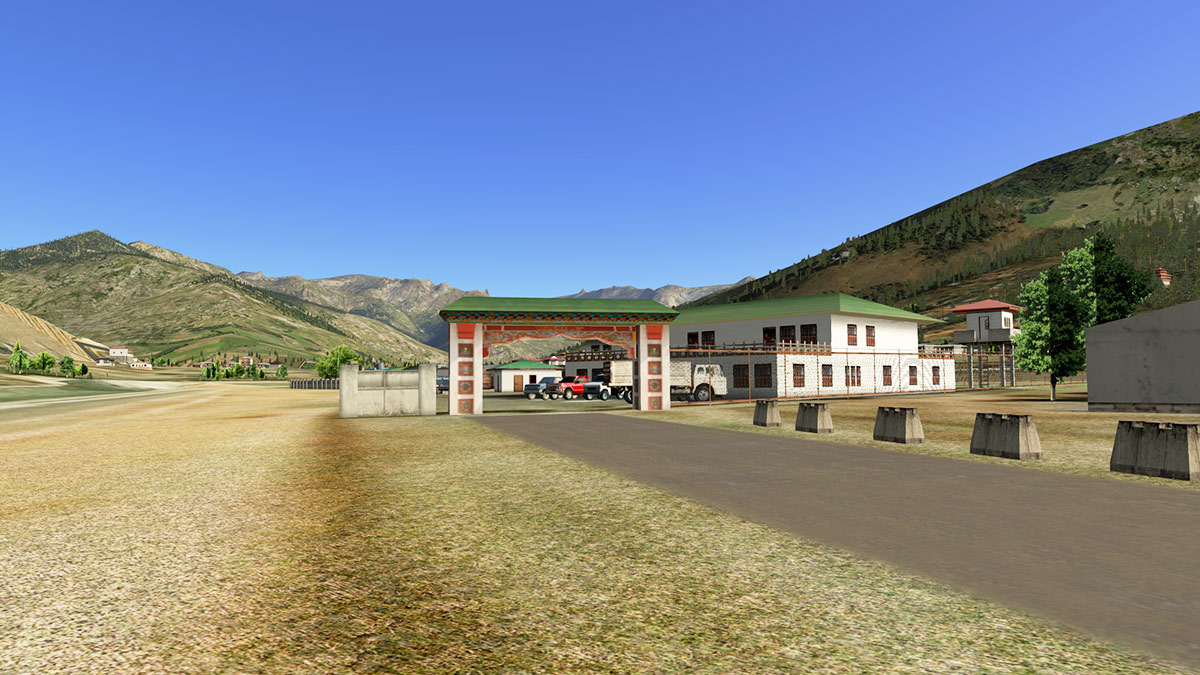
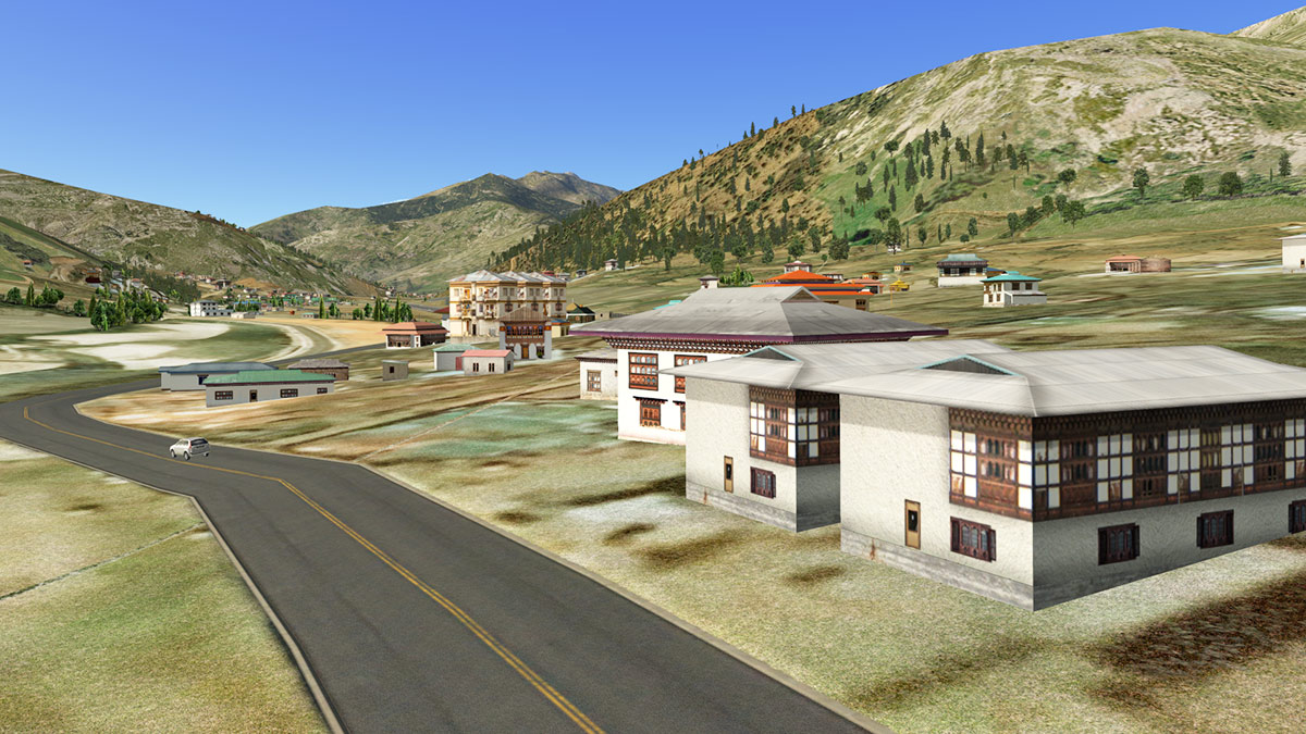
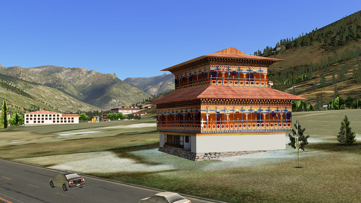
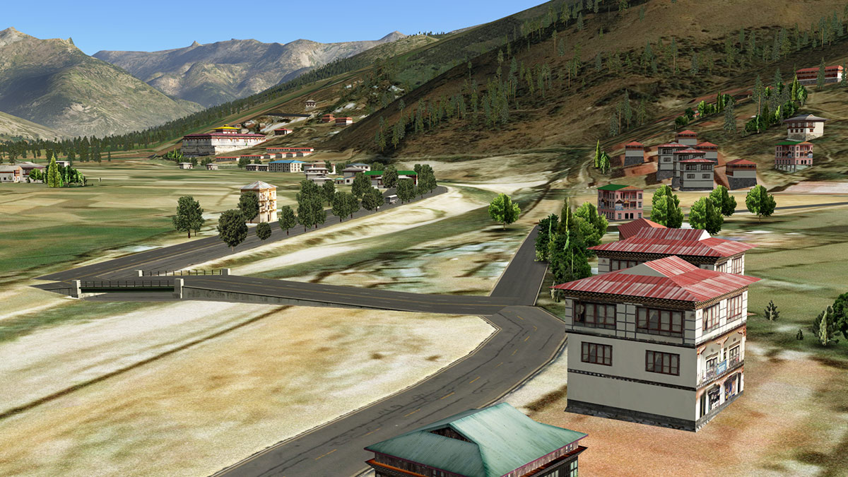
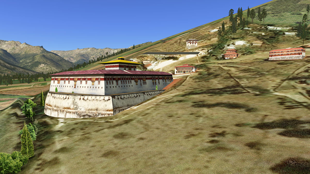
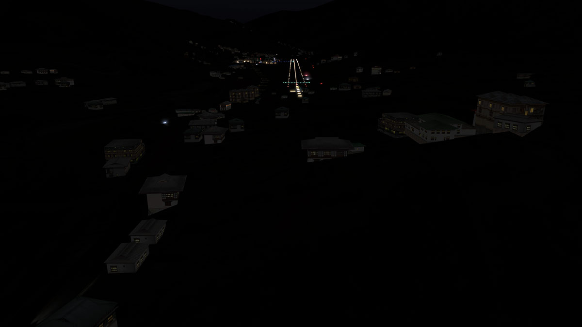
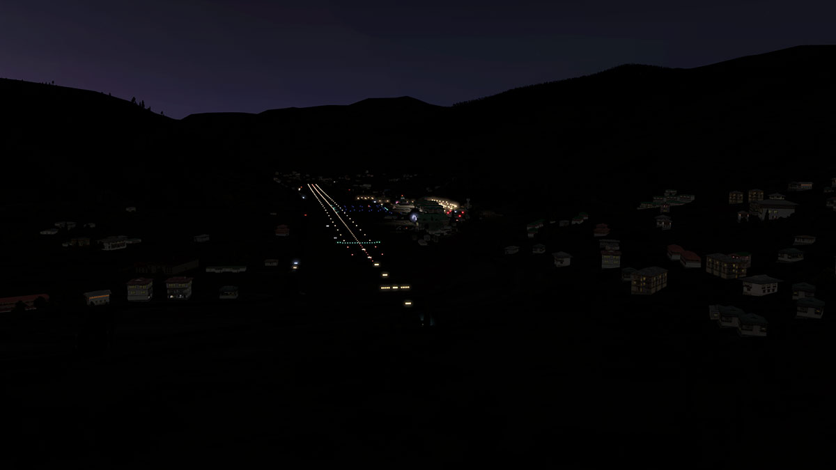
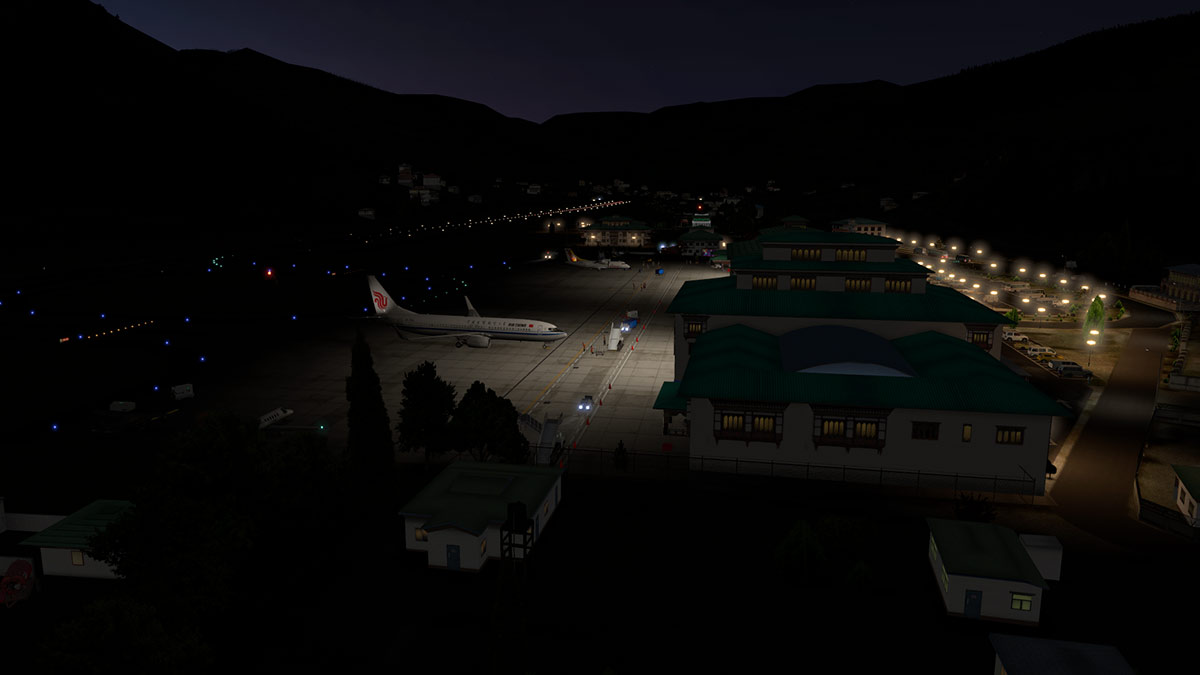
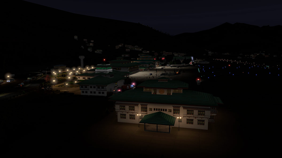
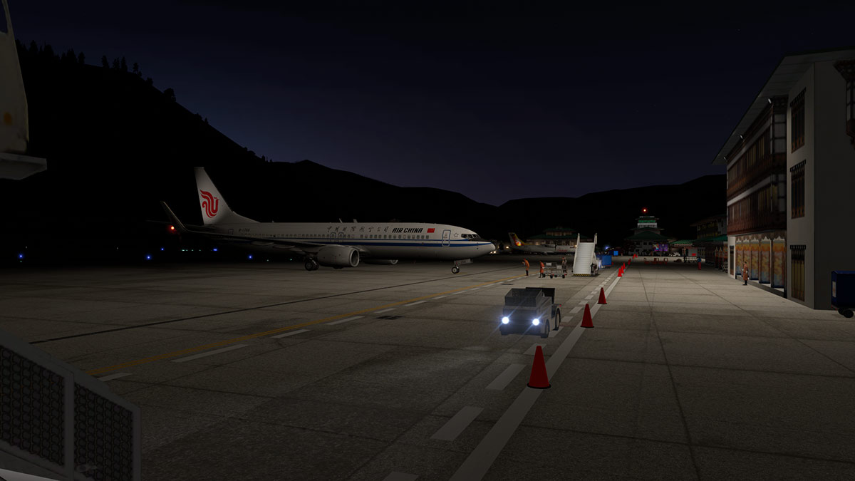
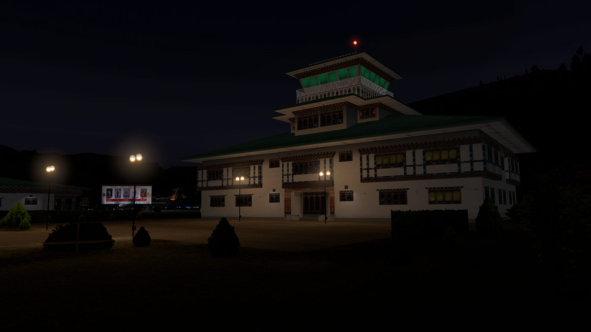
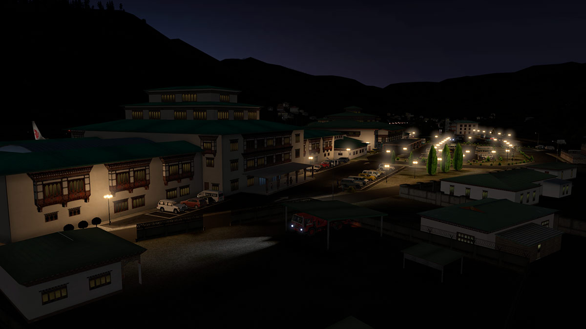
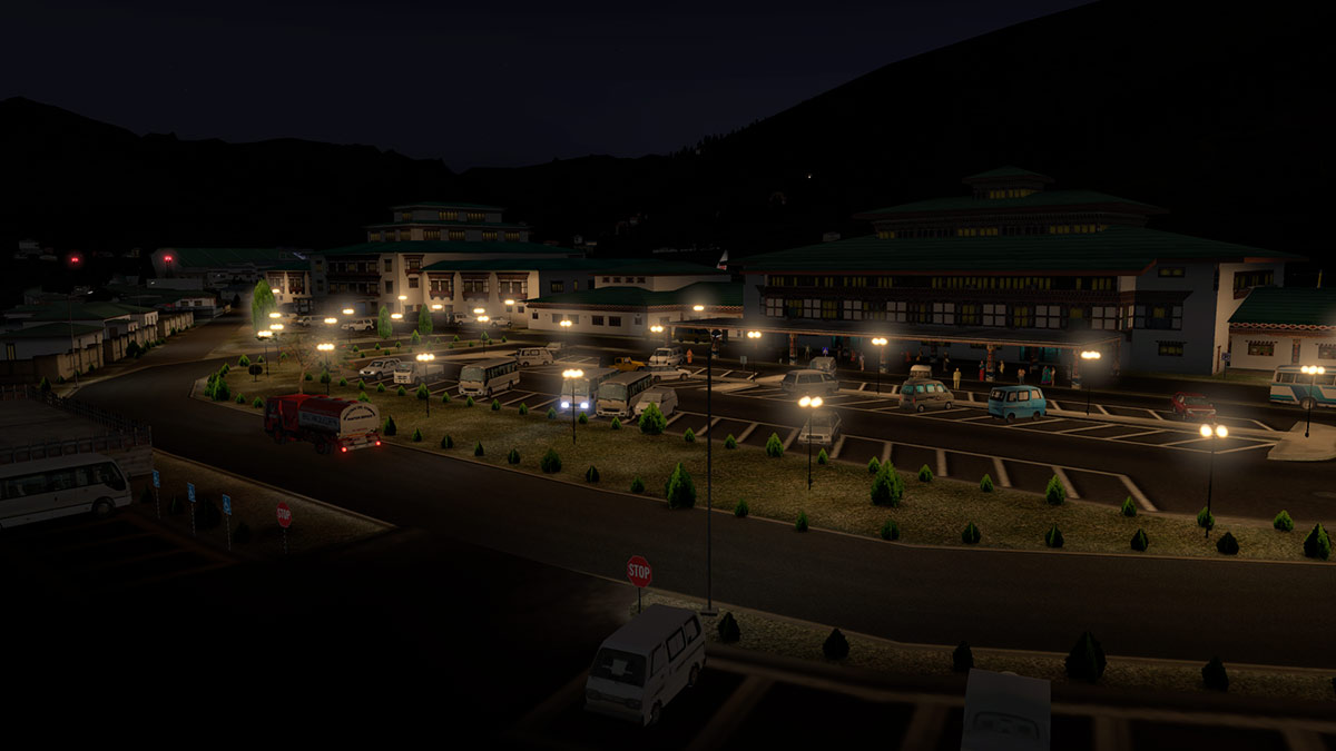
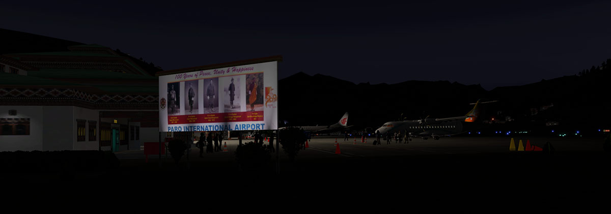
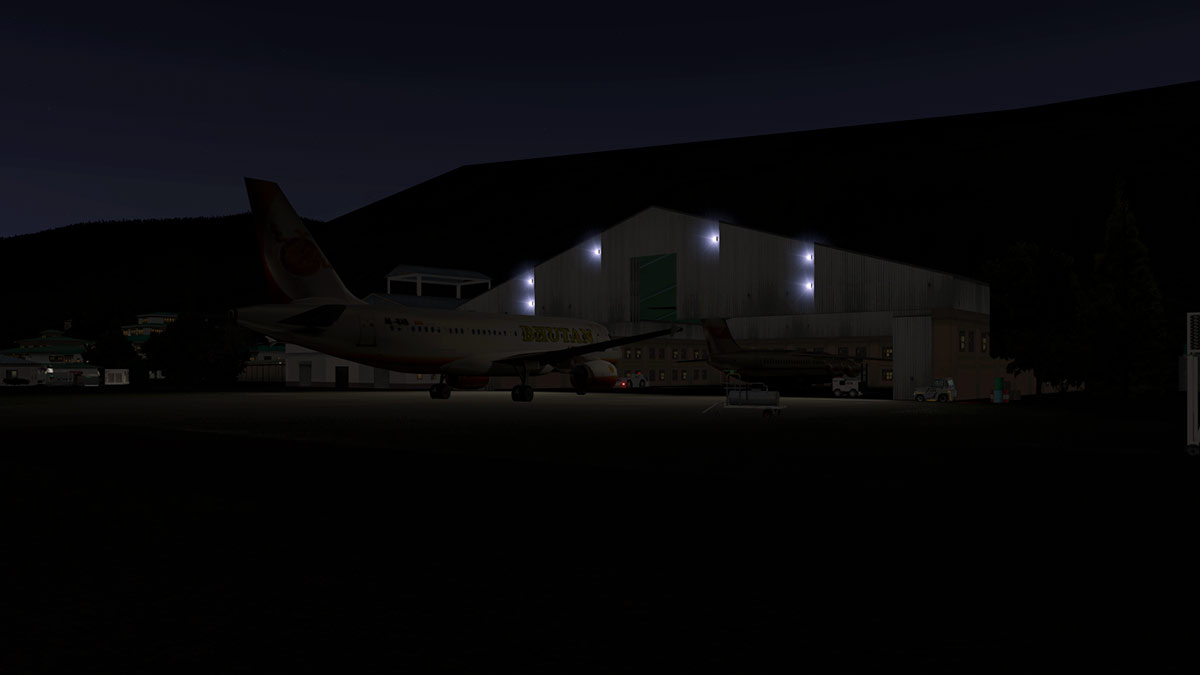
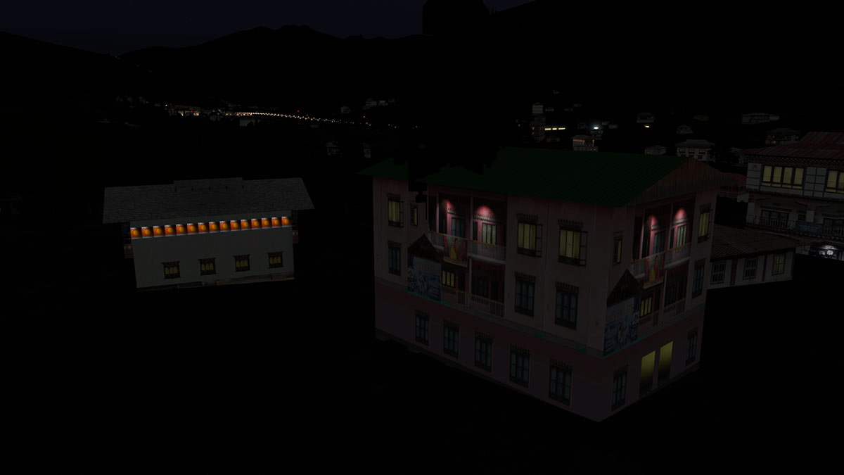
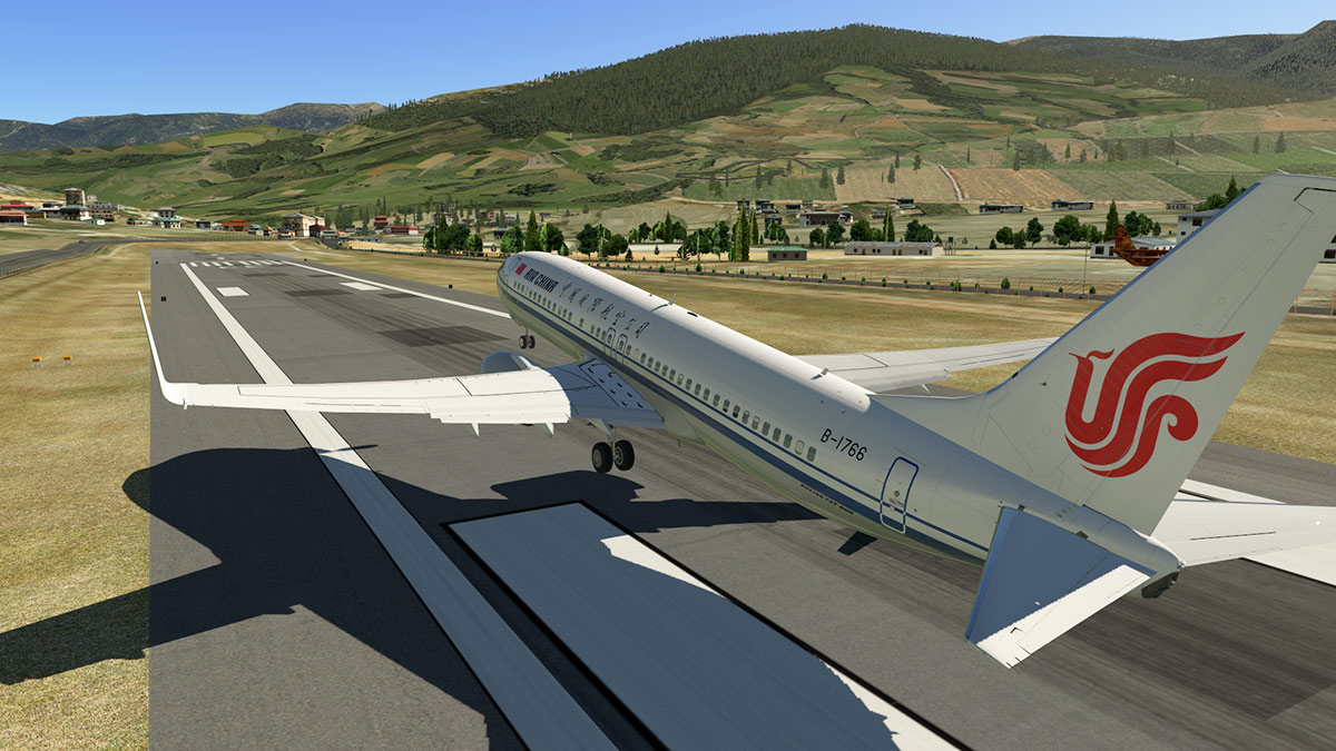
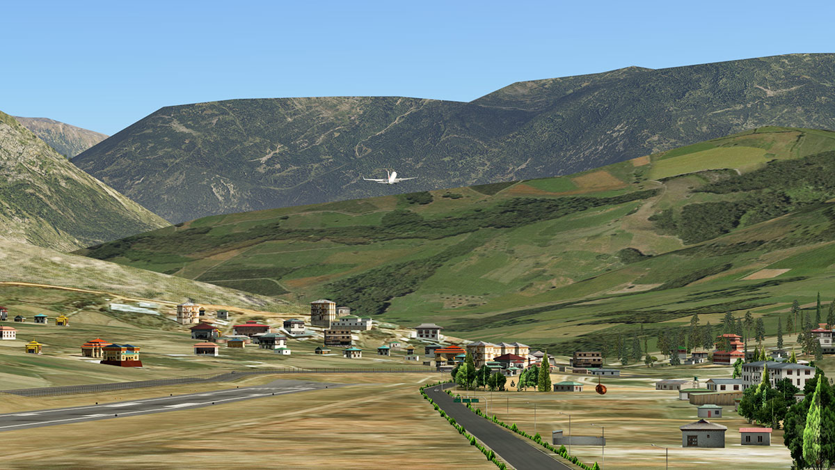
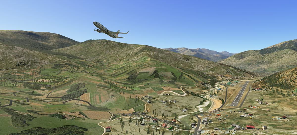
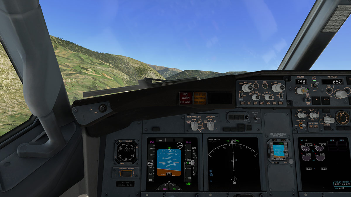
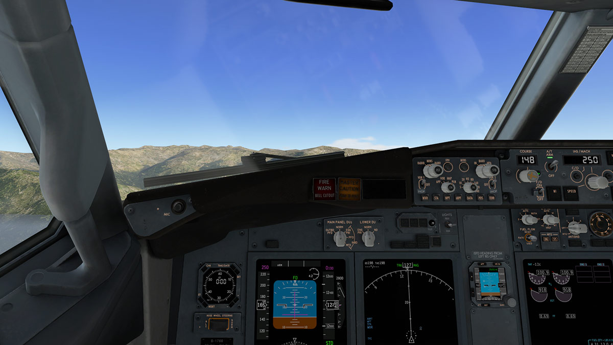
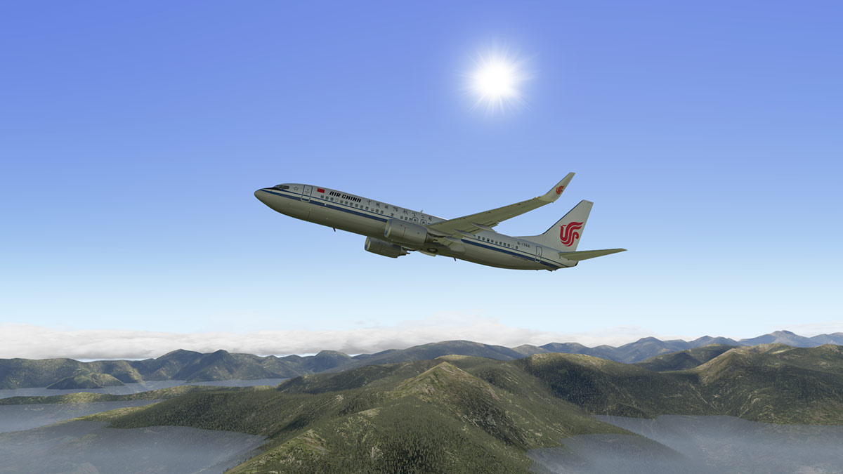
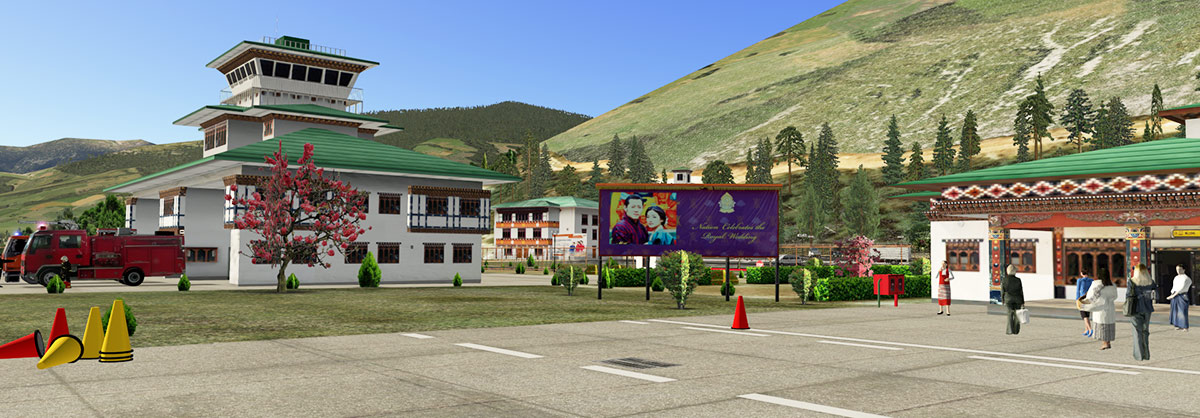
Scenery Review : VQPR - Paro International Airport by Cami De Bellis Could you live in the "happiest Place on Earth", and no it isn't Disneyland either? It is actually Bhutan, and yes it does have officially the happiest population on earth as noted daily by Bhutan's "Happiness Indicator" in Bhutan's capital Thimphu. The Kingdom of Bhutan (འབྲུག་རྒྱལ་ཁབ་ Druk Gyal Khap) is a landlocked country in South Asia and is located in the Eastern Himalayas, and is the place to go to if you want to convert to Buddhism or seek out the truth and become Batman. The Kingdom, also restricts tourism, as only a select number of tourists per year are allowed to visit the Kingdom and then they are tightly, highly regulated and controlled. Entrance to the Kingdom is also restricted by there only being one major international airport at Paro which is 54 km from the capital of Thimphu. And with so few tourists, being totally landlocked from commercial interests including most of the modern infrastructure, stress and bad western television, you can see why they are so happy out there. The Bhutan's also love to have fun with anyone who insists of actually going there, because the only way into and out of Bhutan is via Paro and it is one of the most dangerous landings and takeoffs in the aviation world, and yes VQPR did make it to number 6 of the "most extreme airports of the world" and number 1 was to Antarctica and landing on sea ice. Cami De Bellis To anyone that has been around X-Plane for a number of years then our dear Cami is well known to most of us since 2008. This nice lady has turned out ton's of wonderful scenery over the years in the mostly the Caribbean Islands and the South Pacific. Her work is usually highly populated with people and objects, but this is Cami's first payware scenery in the VQPR - Paro International Airport in Bhutan. Paro International Airport སྤ་རོ་གནམ་ཐང༌། IATA: PBH - ICAO: VQPR 15/33 - 1,964m (6,445ft) Asphalt Elevation AMSL 2,235 m / 7,332 ft Paro International Airport There are two major (If you call them a major carriers) in Druk Air and Bhutan Airways (2 A319-100's) based at Paro. Druk Air has been the Bhutan airline for longer since 1981 and started with a Dornier 228 and then switched to a BAe 146 which as you know are both STOL aircraft. But Druk Air now has three A319-100's and one ATR-500 and in 2012 over 181.000 pasengers passed through airport. The very early flights were also constricted by the exact time of landing, the number of passengers on board and even the direction the aircraft was parked on the airport apron being predetermined by the high lama of Paro Dzong, which means he was also the airport's operations manager in another capacity. Your first thought was going to be the "oh easy, I've landed on an aircraft carrier with a Boeing 747 and so I can do that Paro place". But to be a professional pilot of getting passengers in and out of Paro (Not to be confused with Faro Airport) is a tricky business. The above chart shows you what you have to contend with, plus the valleys are well known for their strange winds effects, in fact the winds can vary considerably at various points along the actual runway not considering also on the actual approach paths. There is no ILS here either and nav aids are restricted to just two in a VOR (PARO - 108-40 PRO) and a NDB (410 PR). This is all hand flying folks, no RNAV or computerised help is available either. "Your on your own" and if the weather is its usual changeable self (mostly to the bad) then you have to deal with that as well. Night flying here is strictly not available. In real flying you need a special certificate to be able to land at Paro. Airbus A320's and Boeing A737's can land here but rarely do so because of that required ticket. More importantly is that aircraft of that size would have to very aware of weight and load factors as we shall see, so the A319 is the best aircraft between size and weight here to get the job done. South Approach So I am going to try the south approach to RWY 33, the rules are very strict, almost carrier like in what to do in an aborted run, you really just climb hard and get yourself quickly out of there. The first part of the approach made me nervous as there was a lot of cloud around with mountain tops breaking through the tops. My equipment is the default Boeing 737-800, a bit big, but easy to handle. Your aim is the PRO "PARO" VOR and note it is listed at 11,483ft, Paro Airport is at an altitude of 7,332 ft so there is a difference of 4000ft, but you have to fly over PRO, so you are going to have to still descend a lot more than 4000ft in a very short distance. Thankfully the cloud cover cleared as I approached the VOR. Speed is absolutely critical as you go over PRO, your lowering flaps and wanting to go as slow as you can as you head down deep into the Esuna Valley and your aim is 165kts. You turn right then left as you swing down the valley and expecting Paro to be in front of you, but it is not, as the airport it is still hidden by Bongde at 8000ft, however you can descend from 11,000ft to 8500ft to take most out of the altitude for landing, however makes sure you don't go too low as Bongde is still there in between you and the airport. Gear down at this point as you approach Bongde for the drag, and as you go around Bongde the top of your speed needs to by around 145kts (stall is 130kts depending on your weight). Then like on a roller-coaster as you go over, or slightly around and down to the left and then swing to the right to finally see RWY 33 still way down below you in the valley.... time to descend, steeply. It is a crucial point here as your speed will increase quickly as you fall and you need to keep it no more than 163kts to control the landing... Even if you get it right, you will still feel you are high and too fast, but RWY 15/33 does give you a fair bit of landing space to get it right and is longer than it actually looks, like I said, total speed control is the key... my final landing speed was 135knts. You could call it the "Space Shuttle" approach because that is what it feels like. You don't really have much time for sightseeing with this approach as your total focus is not over running the 6,445ft runway, which is more like 3500ft by the time you grab the tarmac... the go around if required is pure carrier operations in full throttle and a full steep climb out. There is a small left shoulder to turn around at the end of RWY 33, but it is still a tight turn for the B738, but doable. First views around you and the area is full of realistic Bhutan housing and Pagodas and located up into the far distance is the Dzong or to give the building it's formal name the "Rinpung Dzong". There are hundreds of custom Bhutan buildings in this scenery that completely fills out this part of the valley, these certainly give you the feel that you are in a very different part of the world as is the largely wooden based architecture. Bhutanese ramp workers greet you in the local costumes, which makes a big difference from the Hi-Vis jackets of norm. You will need to have your "Texture Quality" slider at "maximum" as the textures are not high quality and at anything less than the Max setting will give you a slightly blurry look on any of the buildings. At max it is fine and you can set the max, texture quality setting and get away with it in that position because autogen here is almost non-existent and the texture count here is very low as well. As approaches go, you feel like you should get your astronaut medal for landing the shuttle from space, the approach is exciting and requires skill, the visual aspects are great as well, so overall a challenging and complex arrival at a high altitude Himalayan airfield. VQPR - Paro Overall VQPR fits in well to the area. There are joins between the custom scenery and the default textures, but you have to go looking for them, and the basic default textures are a mixed set here anyway that really doesn't help the layout as they are also a very low resolution, so in context the work of intergrating the custom othro textures is well done. The runway textures are good, but not sensational. In the real images of VQPR the runways and taxiways are more dirty, harder rubbered in used and tired, with more worn patches and patchy oily areas... There is 3d grass as well, but the feature is only used in a few places. Obviously the Bhutanese like to get their lawnmowers out to keep it all spick and span for the selected guests, but 3d grass along the runway and far more other areas would have been nice and more realistic. Where it is placed it looks very good. There is also a lot of placed trees. A lot of the trees are those cross-form types that don't work very well with some sun angles (I think they look fake personally) but some trees are really quite beautiful in colour as we shall see. Terminals Paro Airport is an exquisite place for architecture. In our constant sameness of airport terminals in this day and age, then Paro is a place to be treasured. Externally and Internally then Paro can only be Bhutanese in its design and feel, it is a beautiful place full of beautiful things. Going through immigration here is a pleasure not the usual painful challenge of today, no wonder the Bhutanese are so happy there. The scenery's reproductions of the two terminals are very good, yes two terminals! The original 1999 terminal (below left) was joined by the newer slightly larger terminal that opened Mar 18, 2016 (Below right). The new terminal is for arrivals only. So this scenery is up to date and the buildings are highly detailed, but the textures are extremely low-res close up and don't reveal too much of their detailing, from a distance it is fine, but it feels texture wise slightly dated in this age of quality 4K textures. There is a huge amount of detail included with this scenery, and all very local and not just generic in context as you would expect from most designers. But then again Cami is not your usual designer and here she is in her element in giving you the feel of this very different culture. All people are 3d and a great mix of Bhutanese and Western cultures and the ramps and landside areas are busy, busy places. Very rarely do airport administration buildings look like they do at Paro, they are beautiful and part handcarved wood. But then again Control Towers don't look like this anywhere else either? The Fire Station is part of the control tower as well. Note the beautiful cherry blossom trees and the flags are animated and flap nicely in the wind. Detailing here is very well done and well conceived and highly realistic (or manicured). Note the highly realistic street lamps, and their lovely detail. Landside is very completed of objects and detail, you can feel the slight modernisation around the airport as the Bhutanese are coming more and more into the modern world. There are animated vehicles, but not many and the nice touch is that again they are locally branded and not generic. One is a fuel truck and also a baggage cart. North of the terminals and ramp areas is a maintenance area with a large shared hanger for both Bhutan Airlines and Druk Air... ... and a secondary hangar for general aviation or aviation workshop. Tower View Both approaches are excellent with the tower view. But the charts note that the control tower can't see you until you are on short-finals... ... You do however get a great overview of the ramps. Bhutan landscape The Bhutanese love their ornamental gates called "traditional entrance gates" and there is a wide variety produced here in the scenery, including the more modern traffic version. The exotic Bhutanese housing is very well represented, the buildings are very like everything else in Bhutan in being ornamental and also quite basic in design, it comes across like a sort of alpine Indian (Asia) feeling. The buildings are mostly placed along the river Paro Chhu that flows right through the valley and past the airport. The highlight of Paro is the Buddhist fortress featuring several shrines & chapels, plus wall paintings and the grand architecture of the "Rinpung Dzong". The monastery is situated northeast of the airport and can easily be seen from the ramps. The Kyichu Lhakhang, another important Himalayan Buddhist temple that is situated just north of Paro also on the Paro Chhu but is not represented in this scenery. Lighting The lighting at VQPR is excellent. Even if that flying at night here is not undertaken. You can see why with those tall dark monoliths each side of the valley and the airport, that are there and just waiting deathly as your ultimate calling card. However the runway lighting is really good and effective if you can get in and out of VQPR before the curfew. Ramps are very well lit and with the right if perfect light tone. Building lighting is excellent as well, but the standout is the four cross and two globe street lighting... ... that is used to maximum effect on the landside areas of the terminals. Maintenance hangar gets neon lighting in contrast to the rich lighting everywhere else, which is a nice touch. Paro itself is village like with no street lighting and just window illumination that works well. All signage is well lit and prominent, and gives you a very authentic feel to the scenery. Departure from VQPR Getting out of VQPR - Paro is as breathtaking as getting in... ... weight is critical to get the maximum performance out of those engines. You are already 7333ft high in altitude and thinner air, so those engine don't perform as well as they do at sea level. Hold the brakes and build up the thrust and then let the aircraft go. You climb, and you climb hard at full thrust. You are at 20º pitch and and still the mountains feel too close and riding only on pure upward thrust alone. You feel that thrust pushing you ever upwards, its a hell of a ride, Titan booster style. Finally you start to see space... oh sorry, but still 18,000ft is required as per the charts going straight up to clear the range... ... you don't want on that climb for the power to fall off, and so make sure the aircraft can produce it via the weights, finally clear air and a normal climbing pitch of 2500 feet per minute, and there is absolutely nothing normal about getting in and out of Paro, Bhutan. Services Only Bhutan airlines do most of the services in and out of Paro, and that is because it is restricted.... routes are mostly to Thailand and India, but Indonesia is in there as well, which is a fair distance from the Kingdom. Bhutan Airlines : Bangkok–Suvarnabhumi, Delhi, Jakar (suspended), Kathmandu, Kolkata, Trashigang (suspended) - Seasonal: Gaya Buddha AirCharter: Kathmandu Druk Air : Bagdogra, Bangkok–Suvarnabhumi, Delhi, Dhaka, Gelephu, Guwahati, Jakar, Kathmandu, Kolkata Seasonal: Batam, Denpasar, Jakarta-Soekarno-Hatta, Johor Bahru, Medan, Mumbai, Penang, Singapore, Trashigang (suspended) Summary From a pilot's point of view then VQPR - Paro is one of the biggest challenges in aviation. Both approach and departure requires a lot of discipline and skill in getting a medium-sized jet into and out of the airport, so it is exciting and challenging at the same time, but the trick is to do it professionally and not in a gamer sort of attitude. It is a tricky scenery to create. There is a lot of elevation changes and the basic X-Plane textures are not of the Hi-Resolution type you get say in Europe or America as there is a lot of very different texture styles trying or fighting to recreate a Himalayan landscape, which are fine for flying over at altitude, but close up are a bit of a mixed up set of sets. Then you are trying to match in your custom ortho textures into this complex patchwork of textures. In this area Cami has done a great job, but a wider set of ortho textures would have made the job easier and gave you a more proportional and smoother landscape over a bigger distance, Beti-X did that at Bella Coola for a better effect. Then there is the small issue that some textures gave offny winter line patterns behind the airport that is not there when the scenery is removed? There are no built in ground routes? So there is no access to WorldTraffic3, X-Life or the default static aircraft. No pushback or service vehicles are available either... a big omission for any payware scenery? Overall Bhutan buildings and terminals are really well done and wholly represents the airport in its current fashion, textures are low grade though and it shows up close and even at maximum texture render settings, so it feels to be slight older scenery than it actually is, the textures look a a decade out of date by current X-Plane standards. Runway and taxiway textures needed more grit and dirt, as this runway gets some hard landings and it shows in the real world images, but overall at a distance the buildings work and feel fine as they are very colourful and cheerful, just like Bhutan. As expected with Cami, detailing and sheer object numbers are in placement is excellent with both ramp equipment and 3d people and all areas both airside and landside are covered, the valley is full cultural Bhutan buildings and their also the lovely traditional entrance gates. Overall this is very good scenery, and the bonus of those approach and departure challenges gives you great value for your investment, certainly more other connecting airports in India and Kathmandu in Nepal, would give you more access to the scenery on a route basis, but even as a standalone it is very good scenery to use in X-Plane... so great work by Cami De Bellis, well done and this scenery is a great entrance to the "land of the Thunder Dragon". ______________________________________________________________________ Yes! the VQPR - Paro International Airport by Cami De Bellis is Available now from the X-Plane.Org Store here : VQPR - Paro Intl Airport, Bhutan Your Price is US$19.95 Features Exact reproduction 3D of the airport buildings, houses, hangars, Dzong, Pagodas and others Detailed textures and custom objects Reproduction of staff and local people 3D Hand placed 3D trees Volumetric grass Complete reconstruction of the airport's lighting equipment Detailed ground markings Custom night lighting Many Animations in and around airport Very detailed 3D Models covering the whole airport Ground Traffic by Marginal Requirements X-Plane 11 or X-Plane 10.50+ Windows, Mac or Linux 2Gb VRAM Minimum. 4Gb+ VRAM Recommended Installation : Download scenery file size is 59.60mb. With the full installation installed at 198.60mb in your custom scenery folder. The CDB-Library v.2.4 is required. Documents Readme.txt But no Charts supplied. These charts are the best I could find for VQPR -Paro: VQPR_CHARTS WT3 : No ground routes was created for the scenery, so WT3 does not work here? ______________________________________________________________________ Review by Stephen Dutton 13th December 2017 Copyright©2017: X-Plane Reviews (Disclaimer. All images and text in this review are the work and property of X-PlaneReviews, no sharing or copy of the content is allowed without consent from the author as per copyright conditions) Review System Specifications: Computer System: Windows - Intel Core i7 6700K CPU 4.00GHz / 64bit - 16 Gb single 1067 Mhz DDR4 2133 - ASUS GeForce GTX 1080 8Gb - Samsung Evo 512gb SSD Software: - Windows 10 - X-Plane 11.10 Addons: Saitek x52 Pro system Joystick and Throttle : Sound - Bose Soundlink Mini Plugins: Environment Engine by xEnviro US$69.90 : XPRealistic Pro v1.0.9 effects US$19.95 Scenery or Aircraft - Boeing 737-800 Default by Laminar Research (Free with X-Plane11) 1 point